
Description
original-colour lithograph, UNCOMMON
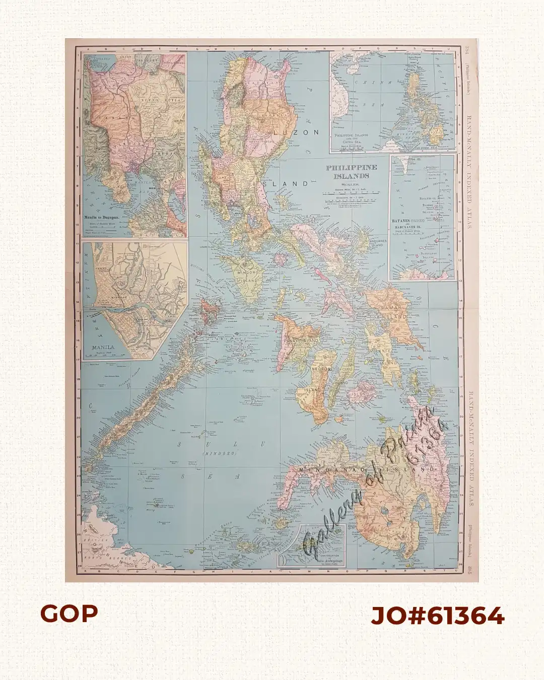
Large and highly detailed map from ‘Rand McNally Indexed Atlas’, p. 384/385. It includes 5 insets: the Batanes and Babuyanes Islands, Philippine Islands and the China Sea, Manila to Dagupan, a map of Manila, and the continuation of the Sulu Archipelago.

![Islas de Infanta y Polillo pl. 12 [Quezon Prov., Polilio Is., Pananongan I., Jomalig I.]](https://www.gop.com.ph/wp-content/uploads/2023/08/JO62585-Algue-1900-Quezon-Province-Polilo-Jomalig-Patnanongan-scaled-1-600x750.webp)
