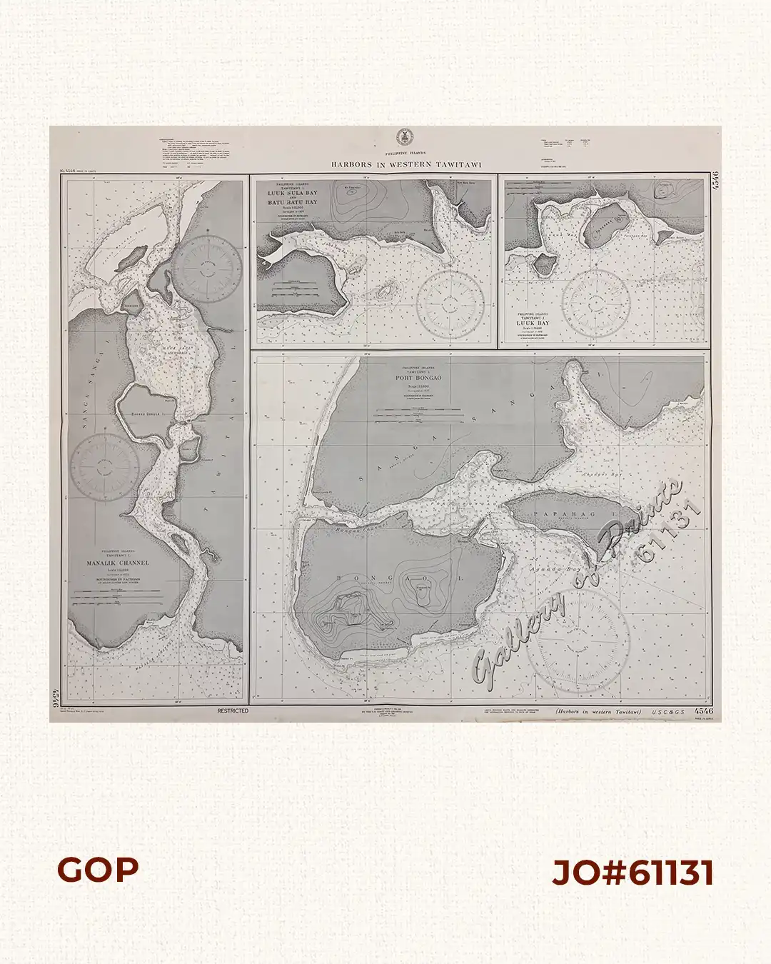
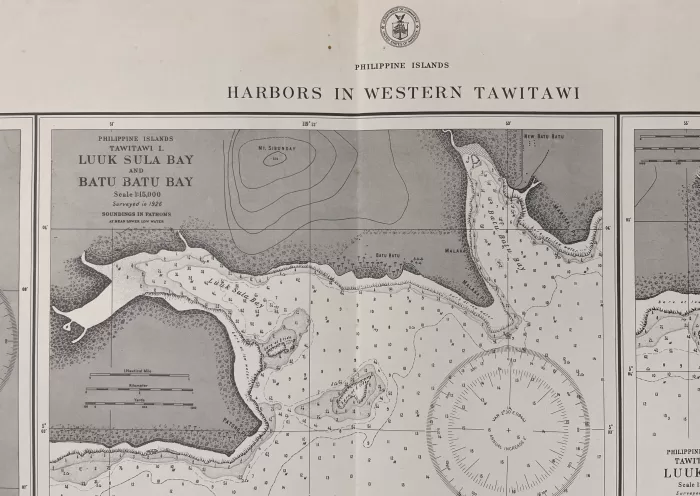
Phone: +63 2 7729 8168 | Mobile: +63 917 806 4291

Philippine Islands Harbors in Western Tawi Tawi insets: 1) Manalik Channel. 2) Luuk Sula Bay and Batu Batu Bay. 3) Luuk Bay. 4) Port Bongao.

11,000.00

Author: U. S. Coast and Geodetic Survey [U.S.C. & G.S.]

Publisher: U.S. Coast and Geodetic Survey, Washington, D.C.

Year: 1940 [1930]

Size: 78.2 x 95 cm; 1) 70 x 27.5 cm, 2) 26.3 x 36.5 cm, 3) 26.2 x 31.2 cm, 4) 52.1 x 67.4 cm

1 in stock

SKU: 61131 Category:

Description

RARE collectible 1940 World War II lithograph map #4546, seachart published at Manila, P.I. Dec. 1930 by the U.S. Coast and Geodetic Survey, Reissued Jan. 1940, L.O. Colbert, Director.
with “30-12/, 40- 1/3, Special Printing at Wash. D. C. (reprint 42- 2/14) 43-9/9”

Condition

with folds as issued, with hand-written title “Philepines Harbors in Western Tawi Tawi” on verso, waterstains on bottom margin, not affecting plate, otherwise very good condition.

Shopping cart0
There are no products in the cart!
Continue shopping
0