Description
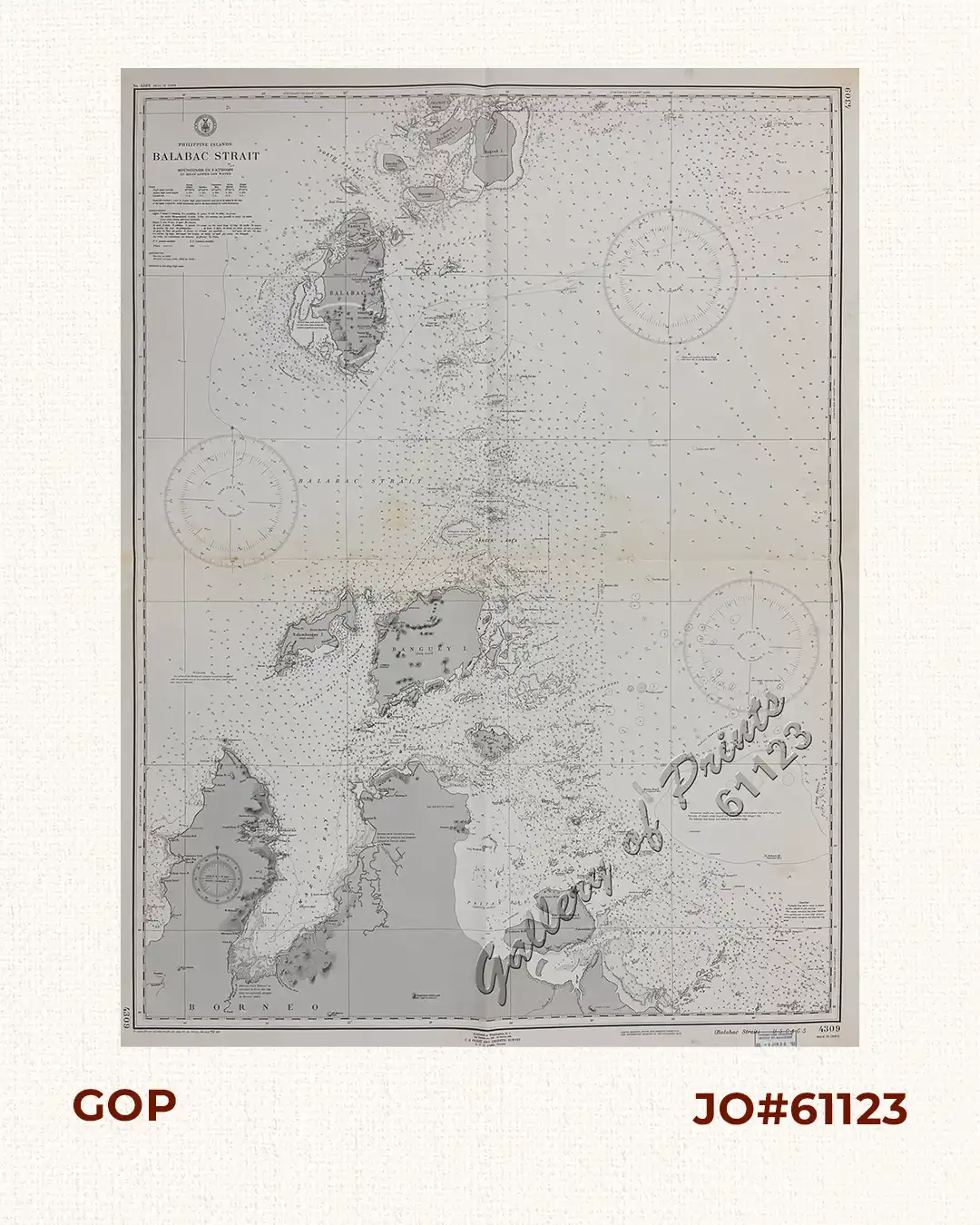
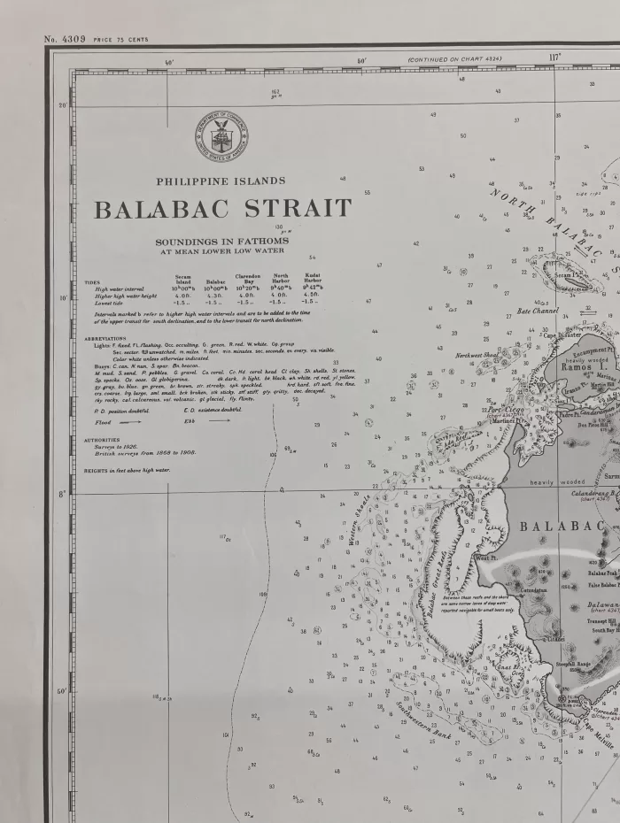
RARE lithograph map #4309, seachart published at Washington, D.C.
3rd Edition Oct. 1921 – 1st Edition 1906 by U.S. Coast and Geodetic Survey, R. F. A. Studds, Director.
with stamp dated Nov 20 1950.
Corrected through Notice to Mariners No. 4 Jan 26 1952, U.S. Navy Hydrographic Office.
with “21 -10/27, 25-10/7, 32- 4/19, 41-2/15; 42-6/26; 43-9/1; 44-5/5; 46-11/25; 50-10/9”