Description
original-colour lithograph; verso: The Dominion of Canada from the Latest Official Surveys & Data. [left side].
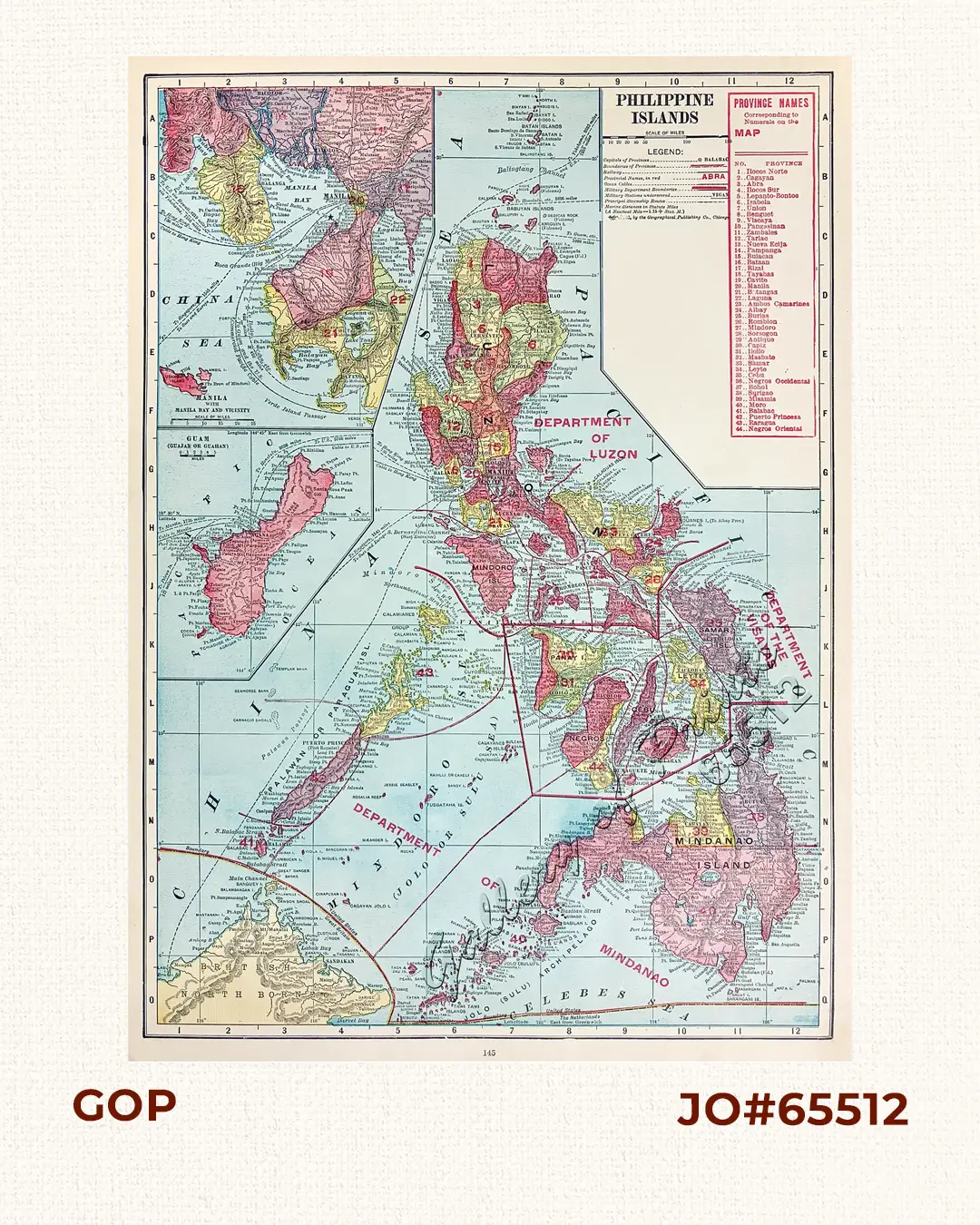
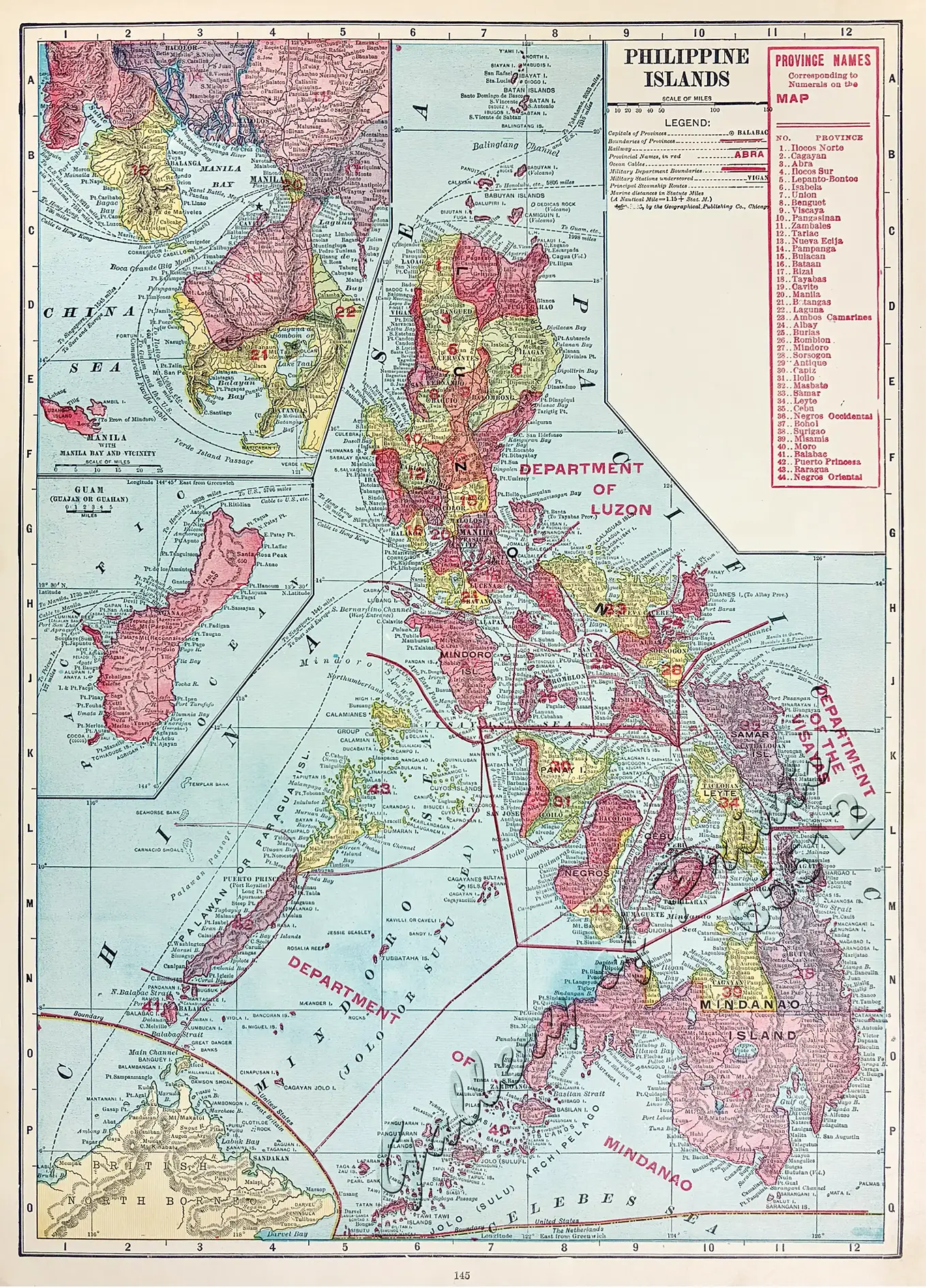
Map p. 145 captures the archipelago during the early American Insular Government era. Framed within an alphanumeric grid border, the main plate delineates the United States Army’s three regional military commands—the Department of Luzon, the Department of the Visayas, and the Department of Mindanao—alongside numbered provinces (1–44) keyed to an accompanying index preserving period divisions such as Lepanto-Bontoc, Ambos Camarines, Moro, and Paragua. Two detailed inset plans occupy the left margin: an upper plan of Manila, Manila Bay and Vicinity (depicting Cavite, Corregidor, and local railways) and a lower plan of Guam (Guajan or Guahan), complemented throughout by topographical hachures, submarine telegraph cables, and maritime steamer routes. Plate is taken from The New Census Physical, Pictorial and Descriptive Atlas of the World, issued following the 1910 United States Census.