
Description
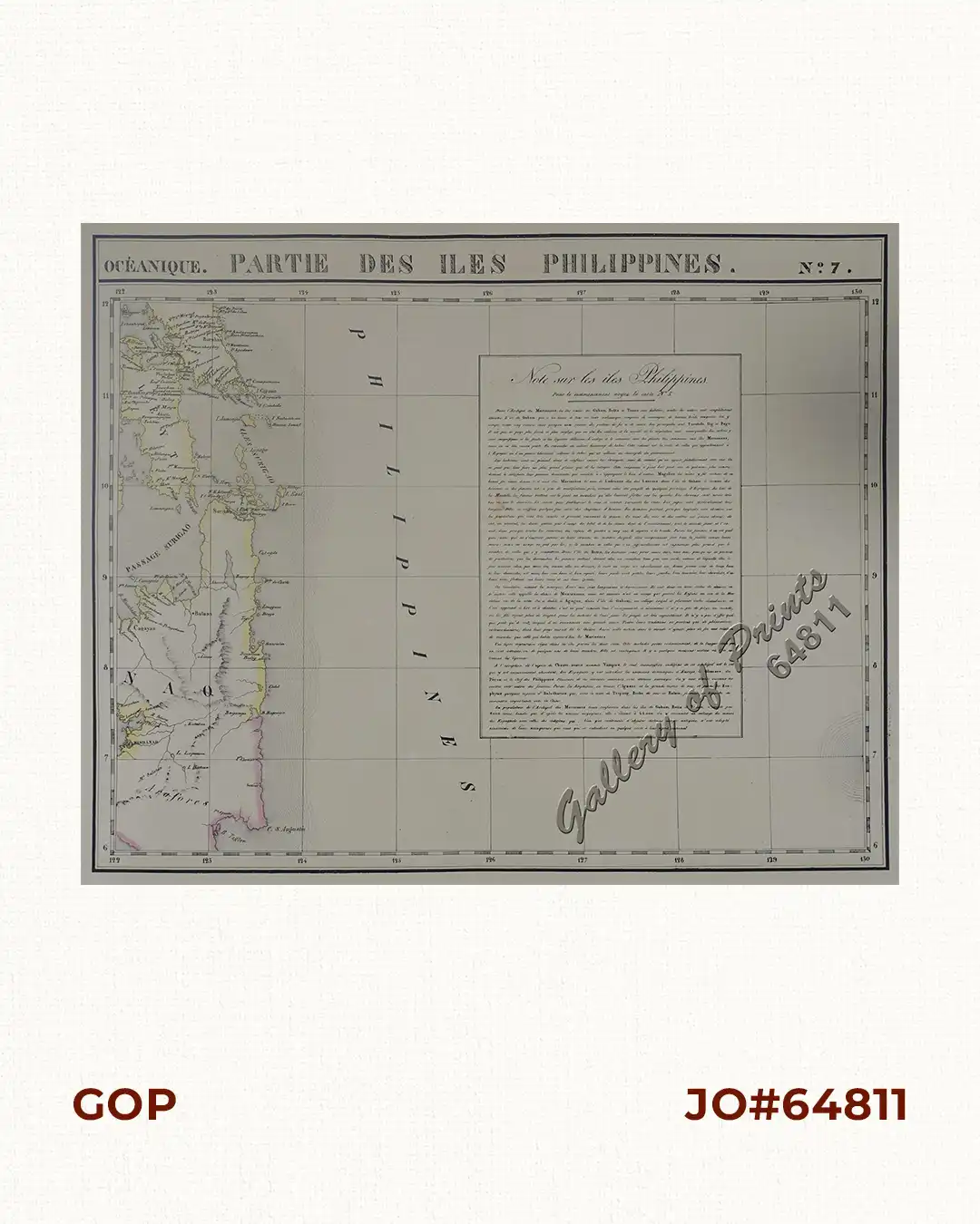
original-colour lithograph map from ‘Atlas Universel de Geographie…’, (Oceanique no. 7);
This 6 vol. Atlas contains 382 lithographed mapsheets and 40 plates of statistical data by Henri Ode (mostly hand-coloured in outline) and was published in instalments over 3 years. The maps in the atlas make up the first map of the world on a uniform scale and the first lithograph atlas created on a modified conical projection and, if assembled form a globe with a diameter of 7.75m, although only one such was known to have been assembled, by the author himself, and requiring a specially designed room. A text box gives extensive information on Borneo.
![Islas de Infanta y Polillo pl. 12 [Quezon Prov., Polilio Is., Pananongan I., Jomalig I.]](https://www.gop.com.ph/wp-content/uploads/2023/08/JO62585-Algue-1900-Quezon-Province-Polilo-Jomalig-Patnanongan-scaled-1-600x750.webp)

