
Description
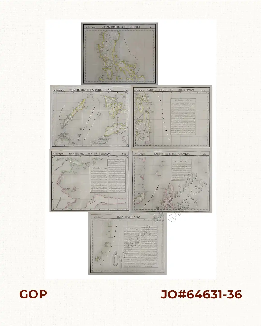
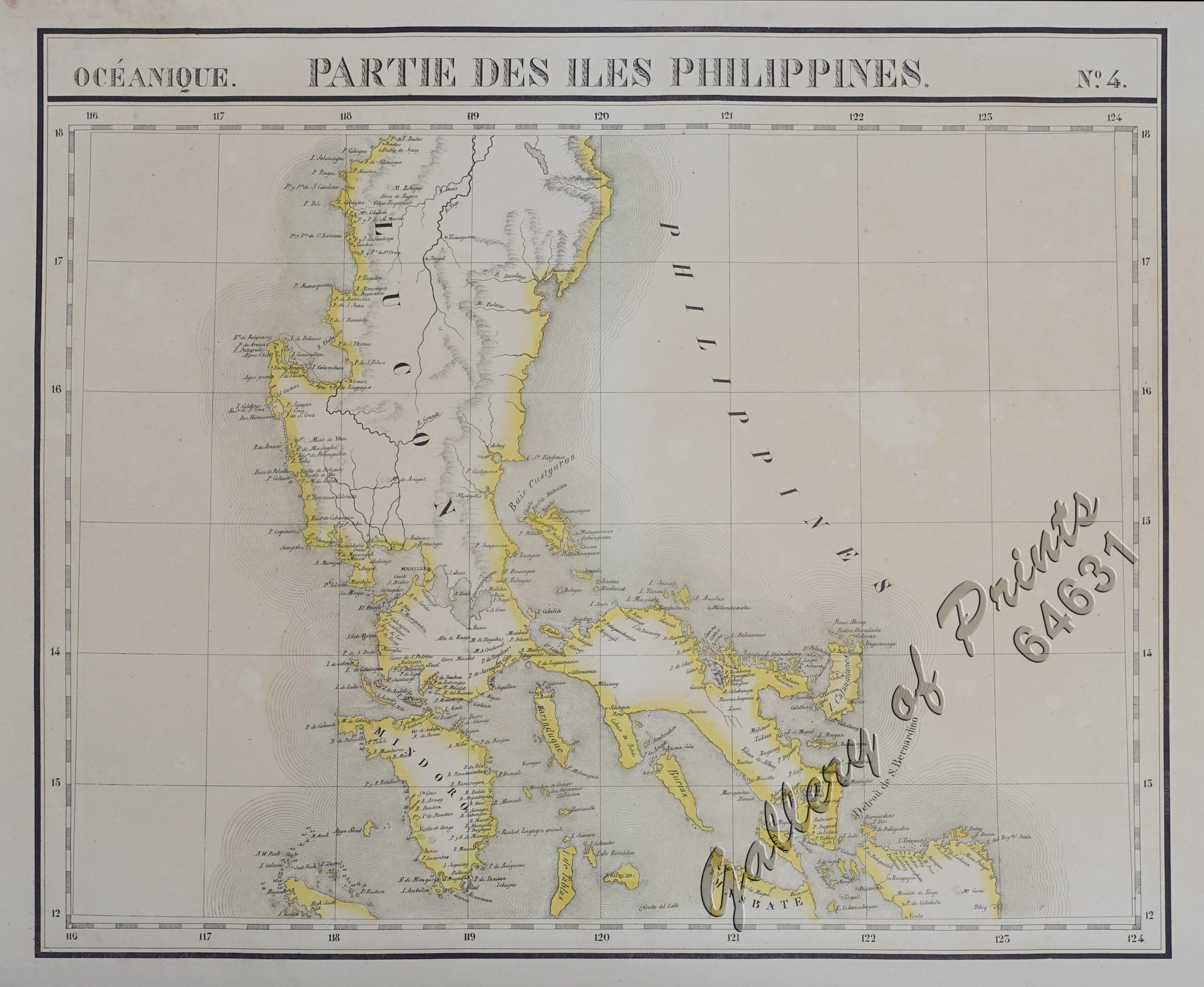
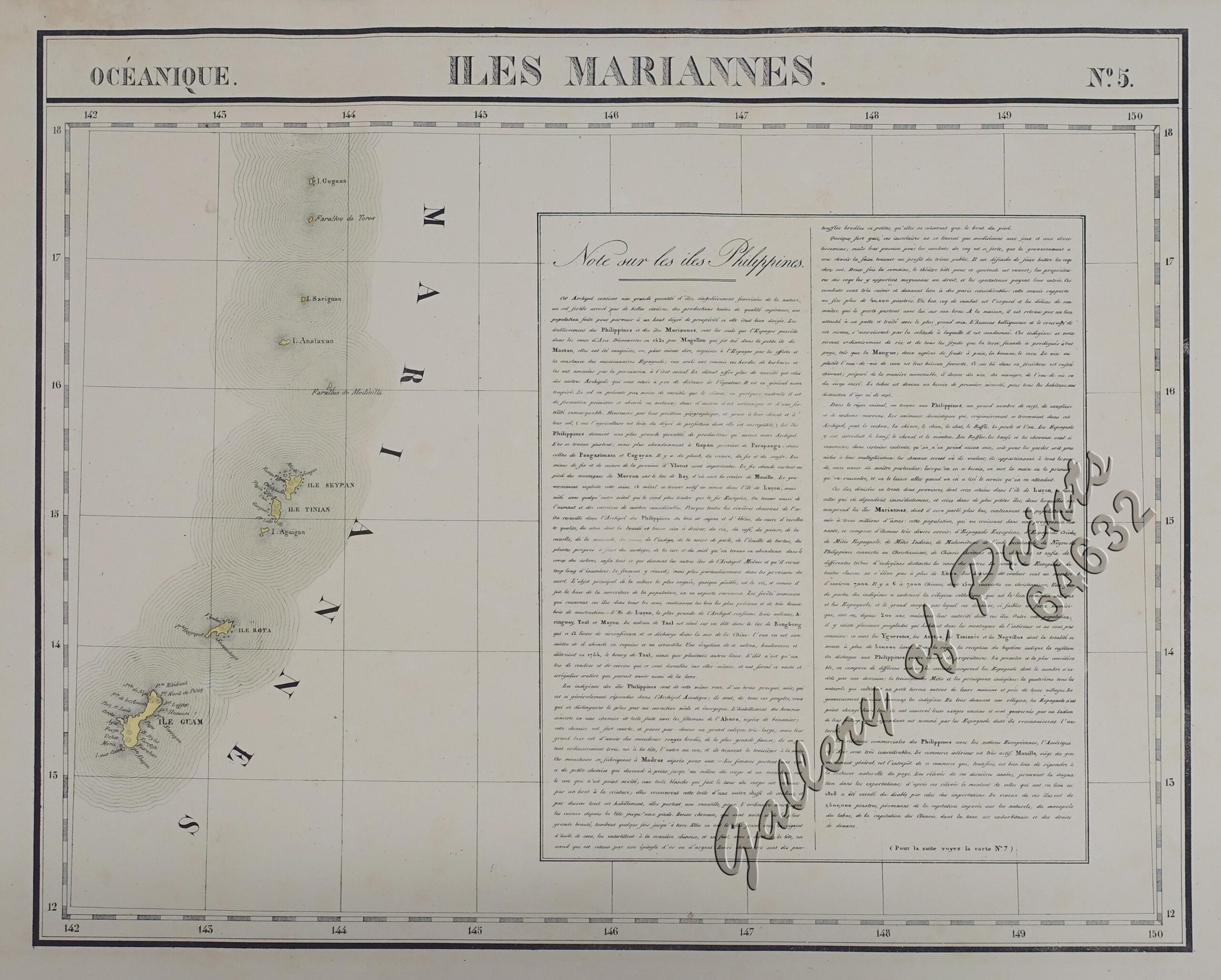
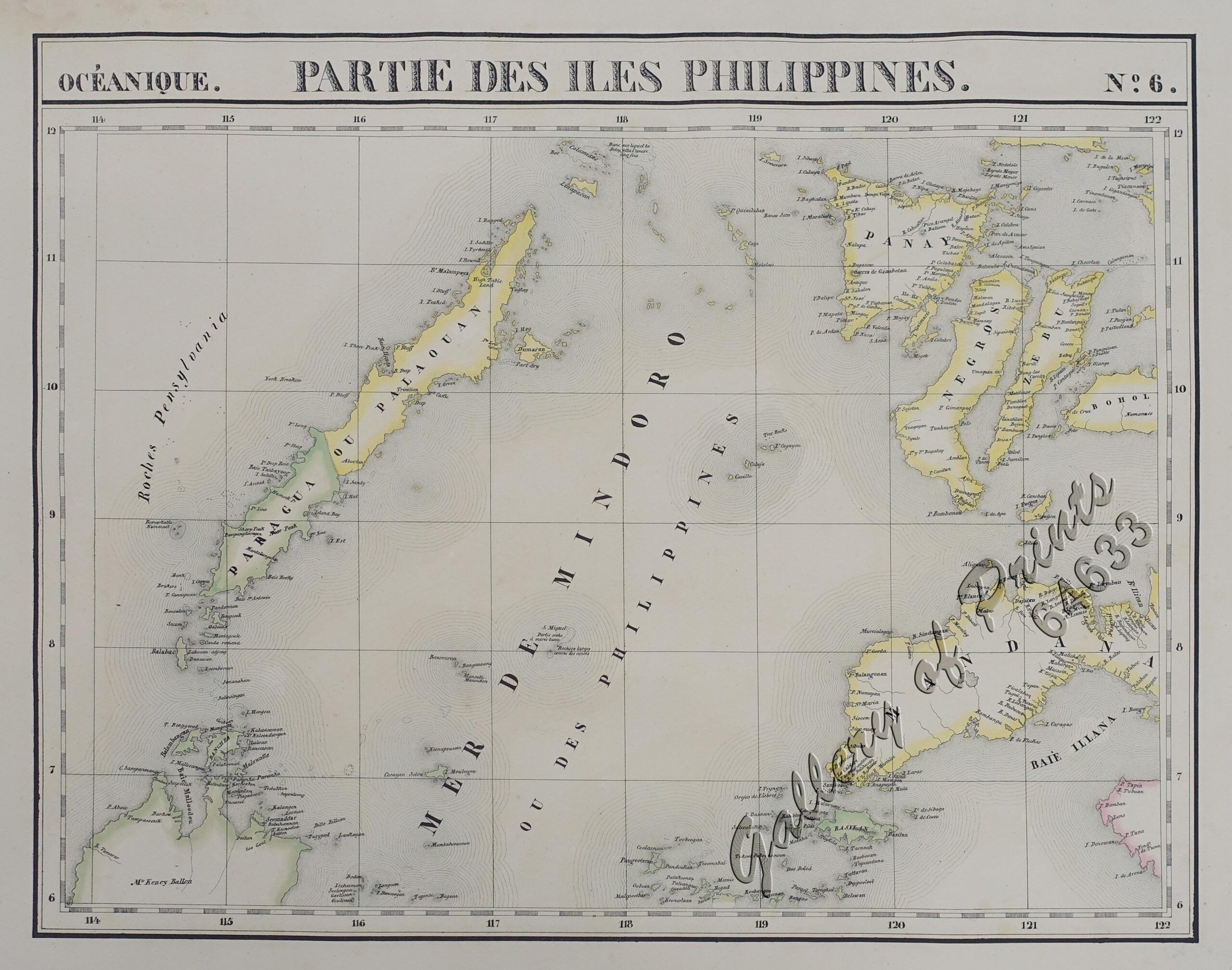
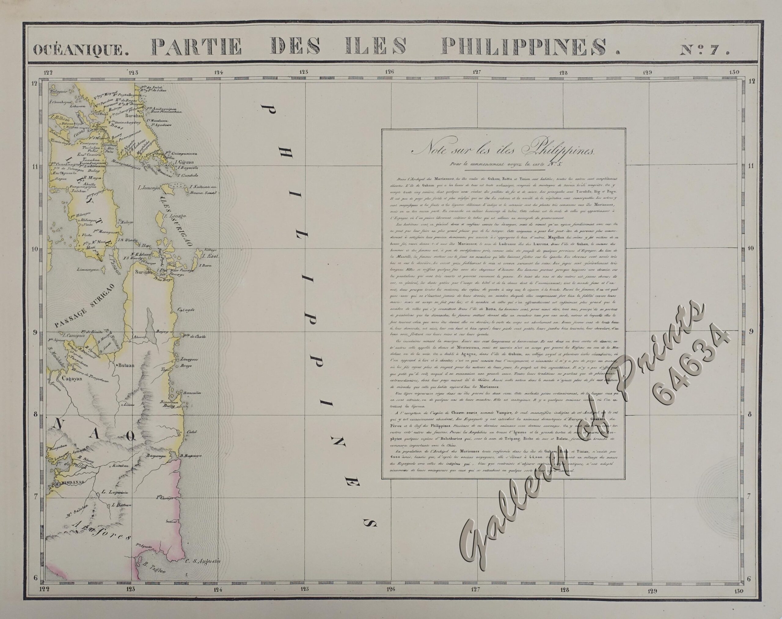
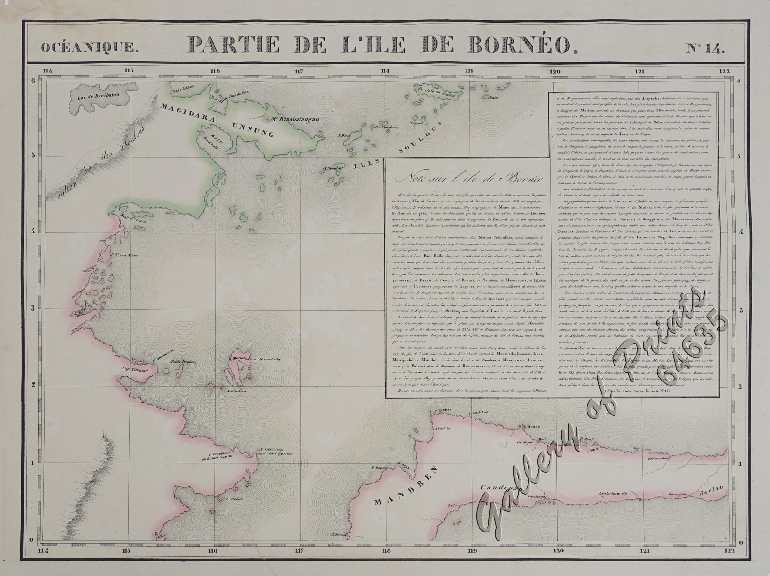
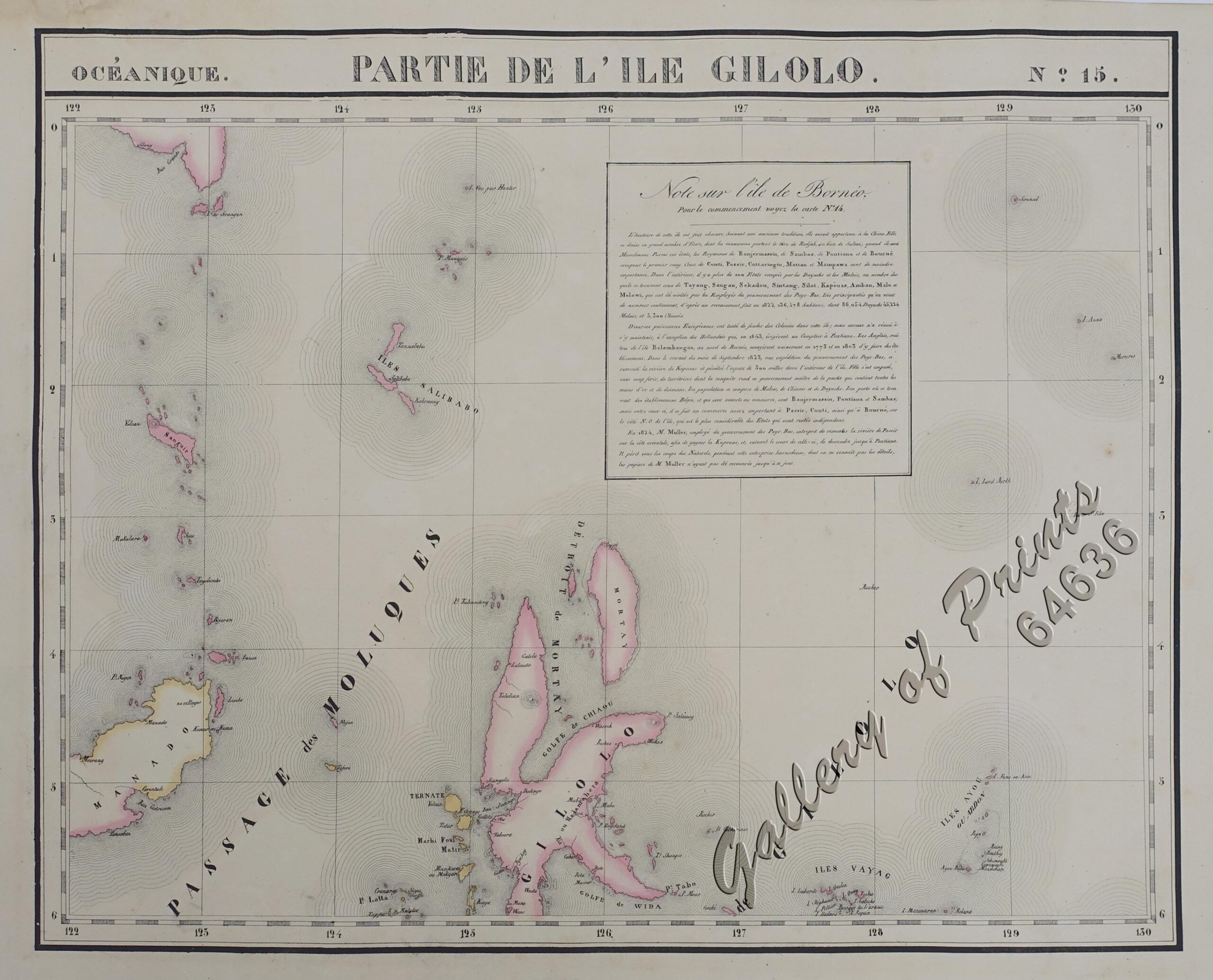
Set of 6 maps with original outline hand-colour from the ‘Atlas Universel de Geographie…’. This 6 vol. Atlas contains 382 lithographed mapsheets and 40 plates of statistical data by Henri Ode. The maps in the atlas constitute not only the first atlas of the world on a uniform scale, but also the first lithograph atlas. Constructed on a modified conical projection, if assembled, they form a 7,75 m diameter globe, although only one such was known to have been assembled, by the author himself, and requiring a specially designed room.
![Isla de Luzon pl. 10, inset: Pto. de Banacalan [Marinduque] (Quezon [or Tayabas], Camarines Norte, Marinduque, Balegin [Balesin], Calbalete [Cagbalete]… )](https://www.gop.com.ph/wp-content/uploads/2023/08/JO64134-Algue-1900-Isla-de-Luzon-scaled-1-600x750.webp)

