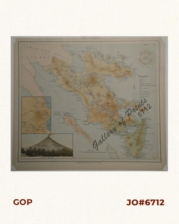
Description
original hand-colour lithograph, with a text vignette on Borneo. This important map for the Philippines shows Southern Mindanao, and the area between Sulawesi, Mindanao and Gilolo (today: Halmahera), part of the Moluccas.
From ‘Atlas Universel de Geographie…’, (Oceanique no. 6); This 6 vol. Atlas contains 382 lithographed mapsheets and 40 plates of statistical data by Henri Ode (mostly hand-coloured in outline) and was published in instalments over 3 years. The maps in the atlas make up the first map of the world on a uniform scale and the first lithograph atlas created on a modified conical projection and, if assembled form a globe with a diameter of 7.75m, although only one such was known to have been assembled, by the author himself, and requiring a specially designed room. A text box gives extensive information on Borneo.