Description
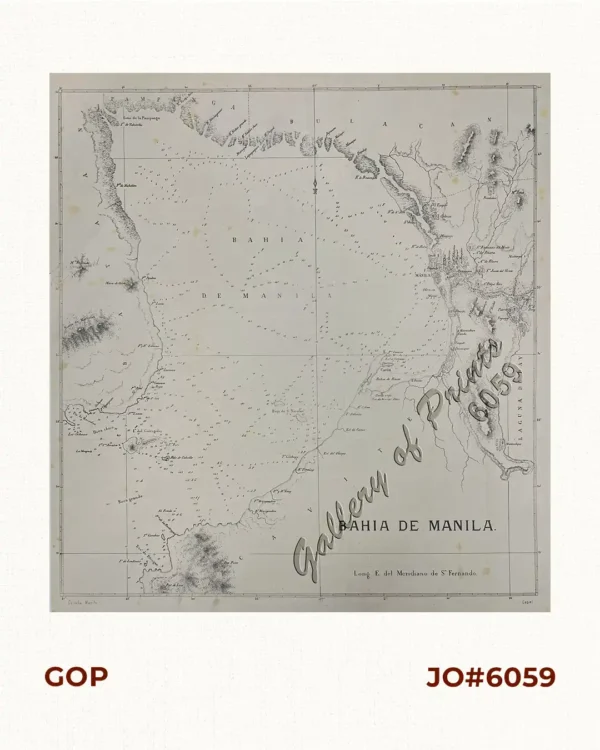
hand-coloured steel engraving map of the Western Pacific including the Philippines from ‘L’Univers. Histoire et Description de Tous Les Peuples.: Océanie [History and Description of the Peoples of the World] Cinquième Partie du Monde. [Fifth Chapter of the World]’, vol. 1; It shows the entire Oceania region, highlighting Australia, New Zealand, the Pacific Islands, and Maritime Southeast Asia.
The map features a grid system showing the longitude relative to the Paris Meridian “Longitude du Méridien de Paris”, the French standard of measurement used before Greenwich became the universal prime meridian.