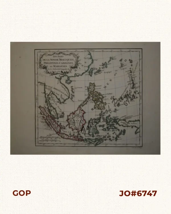
![[Map of China, Anam, Cambodia, Philippines, Taiwan, Korea] (Lower half sheet only)](https://www.gop.com.ph/wp-content/uploads/2026/05/jo65281-Rand-McNally-1890-SEA-map.webp)
Description
Original-colour lithograph map (lower half sheet) from “New Family Atlas of the World.”, pp. 299 (=one page).
The map names many of the islands, shoals, and reefs in the China Sea/West Philippine Sea but crops the whole Eastern half of Mindanao. verso: Persia, Afghanistan and Beluchistan., p. 230.