
Description
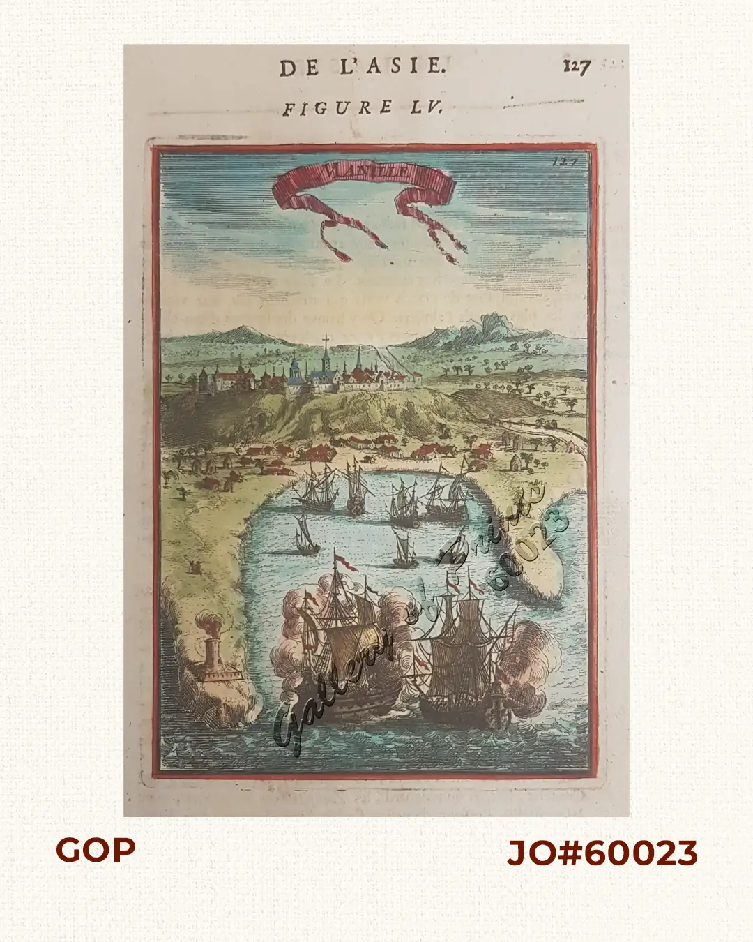
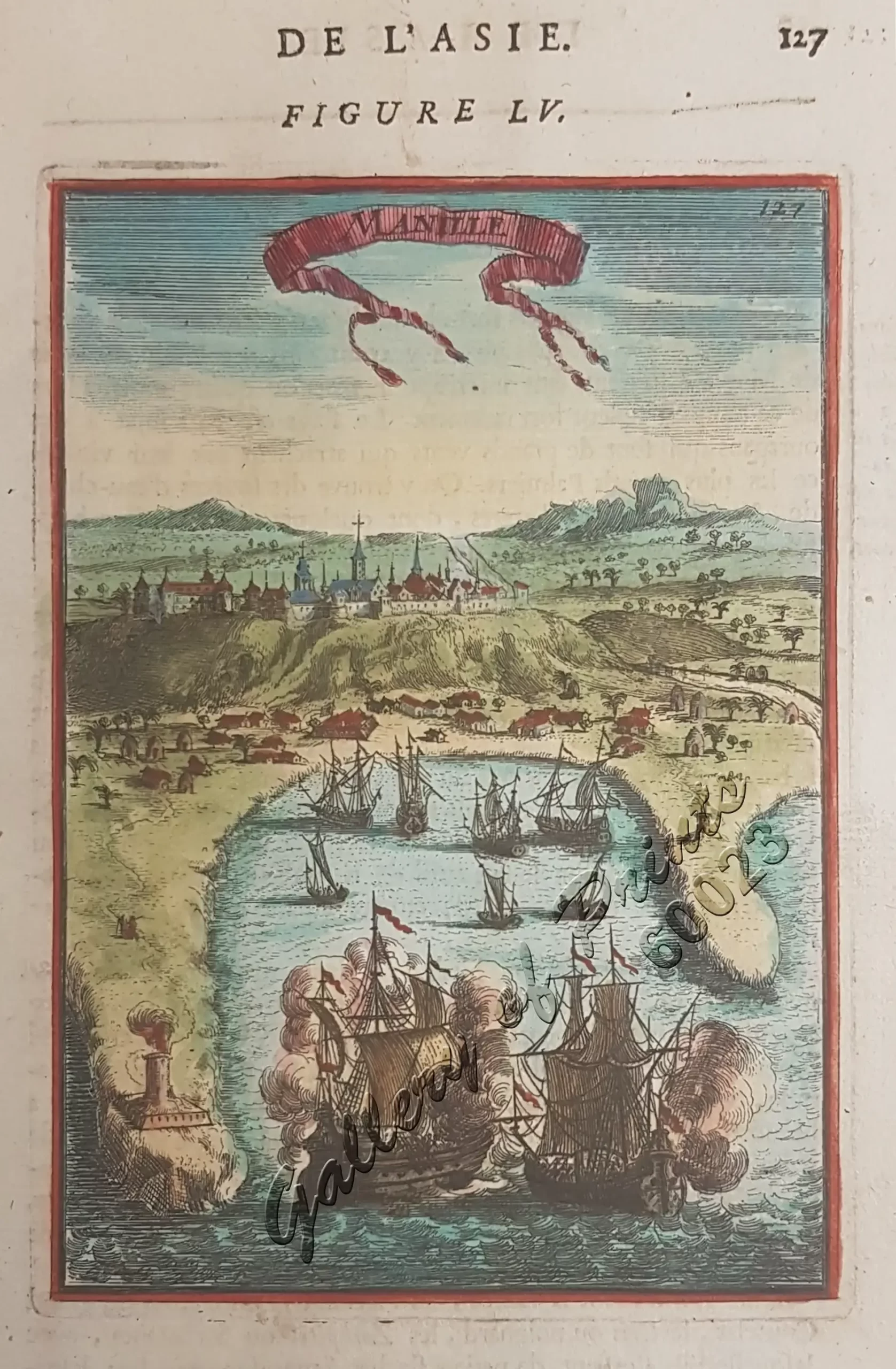
hand-coloured copper engraving.
Map from ‘Description de L’Univers – De L’Asie’. The first edition of his monumental work. Allain Manesson Mallet (1630-1706) was a soldier, 1st in the Portuguese and then in the French army of Louis XIV. He later graduated into the service of the King of France as “maitre de mathematiques, and became a cartographer, and engineer. Mallet published a number of works in the latter part of the 17th Century of which this ” Description de l’Univers” is the most notable and the most extensive, describing in 5 parts all nations on all 5 continents. The work was published in several editions, and in several countries.

![Typus freti Manilensis detroit de Manilles [Straits of Manila]](https://www.gop.com.ph/wp-content/uploads/2015/05/JO54051-Renneville-1725-Philippines-Manila-Samar-Mindoro-Luzon-scaled-1-600x750.webp)
