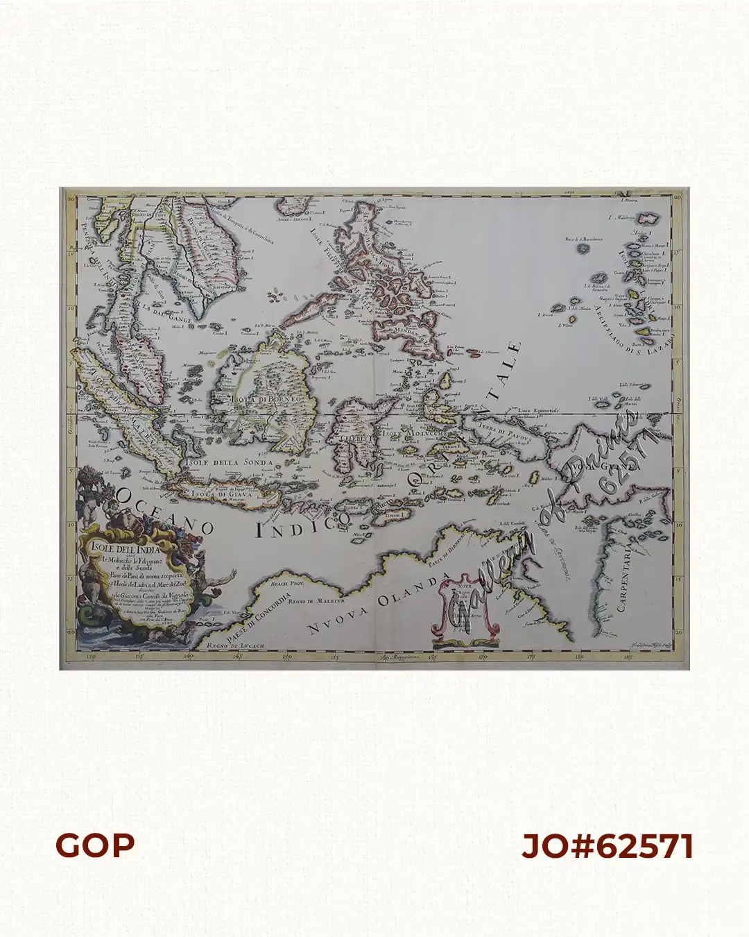
Isole dell’ India cioè le Molucche le Filippine e dalla Sonda…. L’Isole de Ladri nel Mare del Zud…

110,000.00

In Stock

In Stock

Author: Giacomo de Rossi / Giacomo Cantelli da Vignola / Franciscus Donia Messis

Publisher: Giacomo G. de Rossi.

Year: 1683

Size: 39.5 x 54.2 cm

Reference: Quirino, p. 85; Tooley: Early Maps of Australia no. 46 - Clancy, Terra Australis, p. 109 + p. 88

Description

original hand-colour copper engraving, later enhancement. RARE map centering on the archipelago of the Philippines, stretching from Indonesia to Northern Australia (“Nuova Olanda”) and New Guinea. “Cantelli’s map of northern Australia is important as it includes several observations not found in contemporary Dutch maps, including record of Torres’ voyages and the correct placement of Trial Rocks” (Clancy).

Condition

extended upper margin, folds as issued, paper creases.

Shopping Cart
There are no products in the cart!
Continue Shopping
0