Description
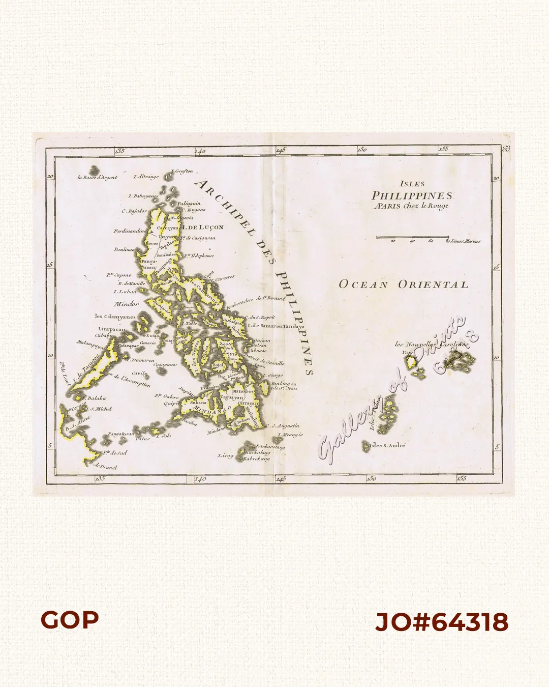
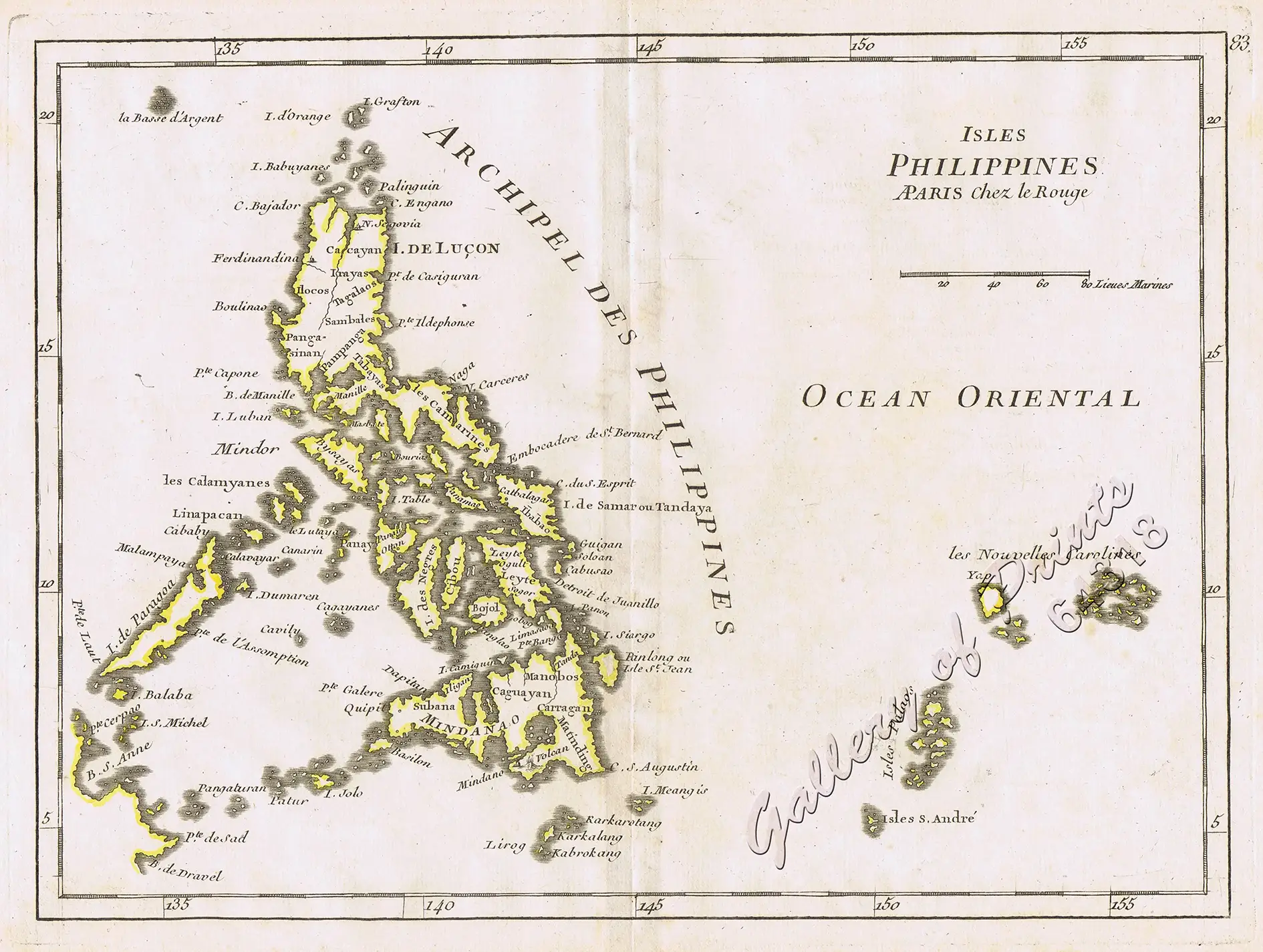
original outline hand-colour copper engraving.
Map from ‘Atlas Nouveau Portatif’; pl. 83;
A military engineer by profession, le Rouge took up cartography and produced many attractive works covering a wide range of subjects including plans of fortifications, military campaigns, town plans, sea charts and atlases between the years 1740 and 1780.

![Isla de Luzon pl. 10, inset: Pto. de Banacalan [Marinduque] (Quezon [or Tayabas], Camarines Norte, Marinduque, Balegin [Balesin], Calbalete [Cagbalete]… )](https://www.gop.com.ph/wp-content/uploads/2023/08/JO64134-Algue-1900-Isla-de-Luzon-scaled-1-600x750.webp)