
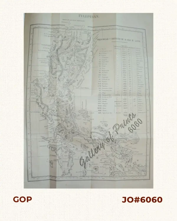
Description
original colour lithograph. Map from ‘Atlas de Filipinas’; done in 1899. Considered’as the most complete and accurate survey of the archipelago made at that time. Father Algue, S.J., Chief of the Manila Observatory, created the most detailed maps of the Philippines to date. The technical work on the atlas was executed wholly by Filipino draftsmen (acknowledged in the introduction), and prepared at the Jesuit Observatory. IT IS THE FIRST EXTENSIVE AND ACCURATE ATLAS OF THE PHILIPPINES.

![Chrysocolaptes Erythrocephalus (Fig. 1) [Crimson-backed Woodpecker] C. maculiceps (Fig. 2) pl.46](https://www.gop.com.ph/wp-content/uploads/2015/05/JO55378-Sharpe-1877-Birds-Philippines-600x750.webp)