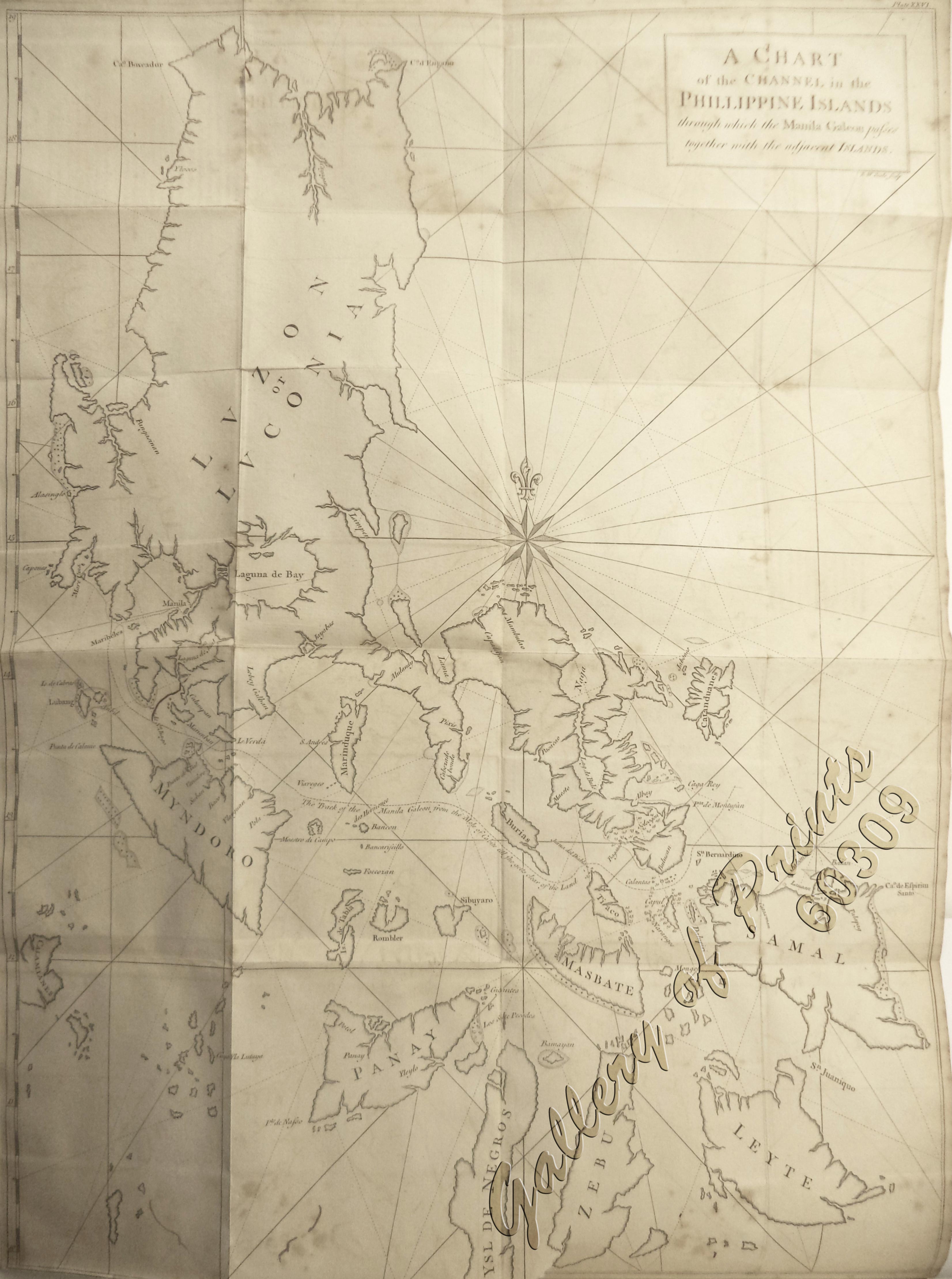
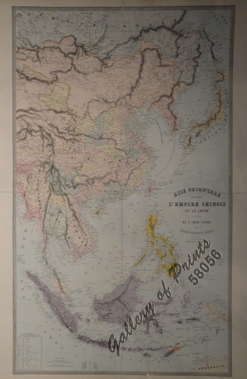
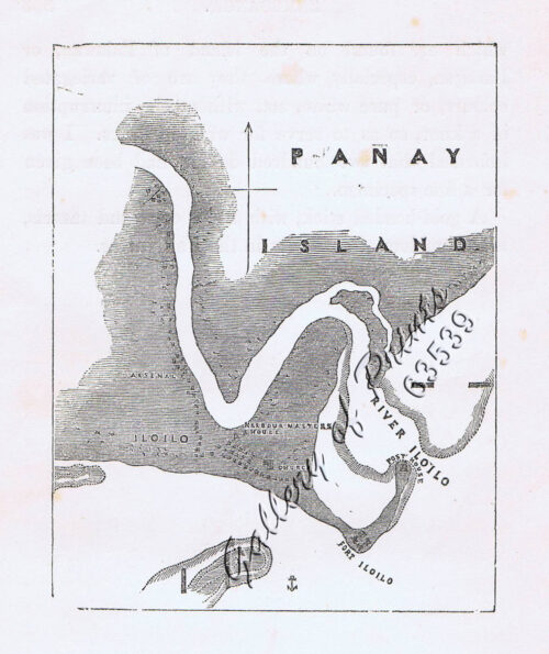
A Chart of the Channel in the Phillippine Islands through which the Manila Galleon Passes Together with the Adjacent Islands
₱44,000.00
In Stock
In Stock
Description
copper engraving, large thick paper edition.
The most famous Chart featuring Luzon and the Visayas, from ‘A Voyage Round the World in the Years MDCCXL, I, II, III, IV’, pl. 26; 12th edition; published by Richard Walter with 42 maps and engravings and printed for T. Osborne, H. Woodfall, W. Bowyer, A. Millar, W. Strahan, J. Rivington, R. Baldwin, L. Hawes and Co., R. Horsfield, and S. Crowder, in London. MDCCLXVII,
While Great Britain was at war with Spain in 1740, Anson led a squadron of 8 ships on a mission to disrupt or capture Spain’s Pacific possessions. Returning to Britain in 1744 via China and thus completing a circumnavigation, the voyage was notable for the capture of the Manila galleon “Cavadonga” off Samar but also horrific losses mostly due to scurvy with only 188 men of the original 1,854 surviving. Anson was compared with Francis Drake and was promoted to First Lord of the Admiralty in 1751. It was a vast popular and commercial success as the spoils from the Galleon caper financed virtually the entire British Navy.
Condition
with folds as issued, professionally repaired worm holes and small tear, tightly cropped margins, bottom extended but excellent condition.

