
Description
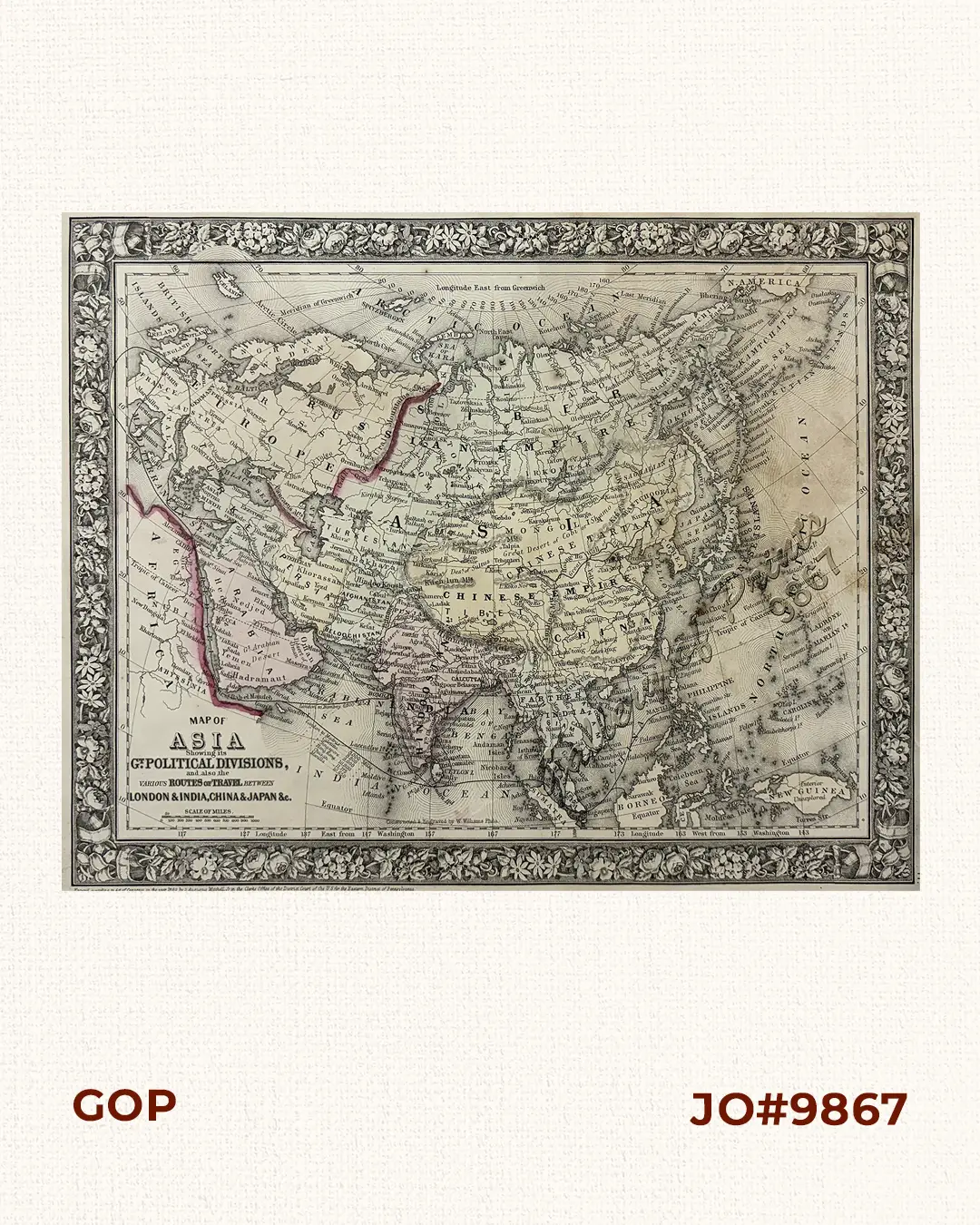
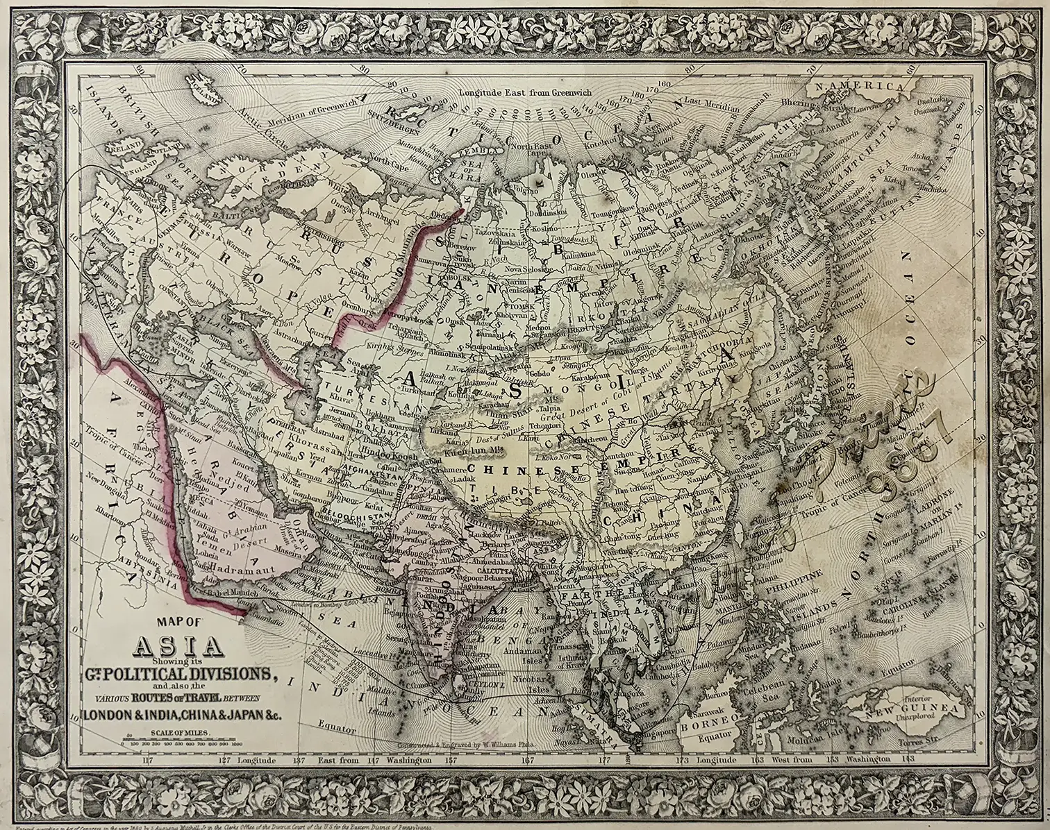
lithograph, hand-coloured county boundaries; map from ‘Mitchell’s New General Atlas’, pl. 77; with the characteristic floral border. Entered according to Act of Congress in the year 1860 by S. Augustus Mitchell, Jr. in the Clerks Office of the District Court of the U. S. for the Eastern District of Pennsylvania.
Released immediately after the American Civil War, capturing a transitional territorial landscape in North America (such as early boundaries for Nevada, the Texas Panhandle, and Dacotah Territory).
Samuel Augustus Mitchell Jr. (1826–1882) was a prominent 19th-century American map publisher who took ownership of the renowned Mitchell map publishing empire in 1860, succeeding his father, Samuel Augustus Mitchell Sr. (1792-1868). Based in Philadelphia, Pennsylvania, he successfully transitioned the family business into a new era of American cartography till the business closed in 1887.


