Description
EXTREMELY RARE 3-volume set! VOL I is in 4th edition, VOL II and III are in 2nd edition.
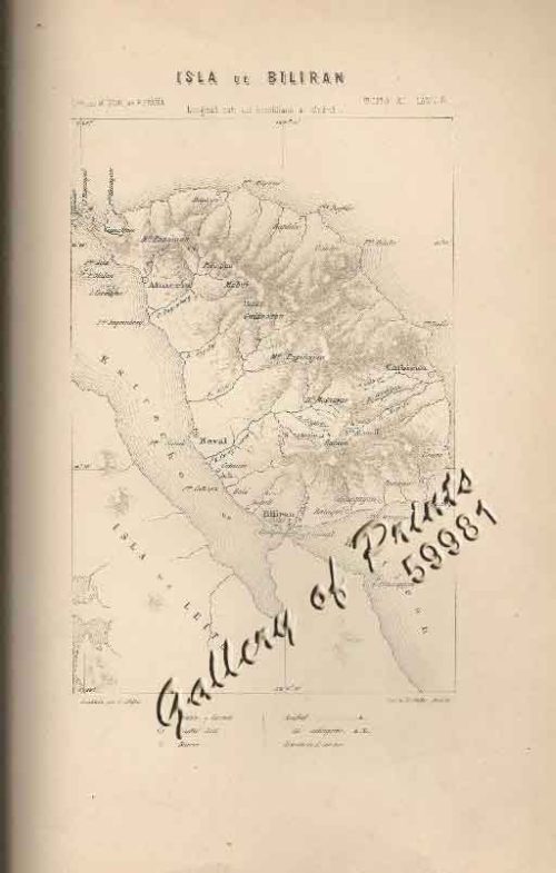
The first printed report of the circumnavigation was a letter written by Maximilianus Transylvanus who interviewed survivors in 1522 and published his account in 1523. Both, Antonio Pigafetta’s Journal and Transylvanus’ extensive letter are reproduced and analysed in VOL. 1 of this most extensive contemporary travel compilation. It also contains 3 copper engraved maps: India, Africa, and the Birth Certificate of the Philippines, the so-called upsidedown map “Terza Tavola” by Ramusio after Giacomo Gastaldi who was the first to place “Filipina1485-1557)” on a map.
These had not been included in the first edition. The Terza Tavola was particularly important: as Gastaldi not only used Pigafetta’s account of Magellan’s journey, but it also benefited from new sources, like Juan Gaytan and Villalobos’ journey from Mexico to the Philippines.
Abbreviated description: [Complete Descriptions upon Request].
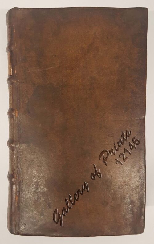
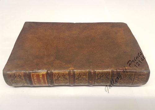
3 volumes in folio, 324x220mm; Identical old Leather binding, manuscript foredge writings.
Vol. I, 1588, cc. [4], 34, 394 [ie395 repeated 161], 1; 11 woodcuts of various sizes in the text including the sources of the Nile and the plans of the churches of Golgota and San Salvatore full-page and others in the text, including “maize” page 385 and the famous 3 double-page Maps including the “Birth Certificate of the Philippines” – the upsidedown map.
Vol. II, 1583, cc. 6-9, 18 [ie16], 10, 256, 90, several numbering errors, printer’s mark on the title page, 1 woodcut in the text.
Vol. III, 1565, cc. 6, 34, 456, printer’s mark on the title page and at the end, 42 xil. including 3 full page and 7 double-page maps depicting Cuzco, New France, Newfoundland, Brazil, West Africa, Sumatra, Montreal and the New World; three text woodcuts with the “Hispanola” (map 44), the Temistitan Tower (map 307) and the plan of Mexico City (map 308v).
A total of 62 woodcut illustrations, including 10 double-page maps, all engraved by or after Giacomo Gastaldi.
The First Volume also contains the Report of the discovery of Japan.
The Second Volume contains the critical edition of Marco Polo’s work, established by Ramusio by comparing several manuscripts.
The third volume is entirely dedicated to the Americas as it contains Jacques Cartier’s accounts of his famous trips to the New World of 1534 and 1535: he coined the name Canada and was the first European to penetrate the North American continent from the east. [complete description available upon request]
Price upon request
Condition
Uniform and matching old leather binding of a set of 2 editions, as usually happens, in excellent condition with wide margins.

")


")
")
")