
Prints
Showing 1891–1899 of 2056 resultsSorted by latest
-
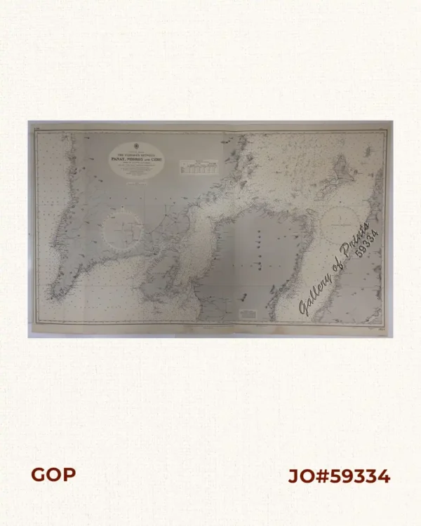
Philippine Islands. The Passages Between Panay. Negros and Cebu. North of Latitude 10° 17′ North. From the United States Government Charts of 1933. With Additions and Corrections from the Philippine Gov’t. Charts to 1963.
₱11,000.00 -

Philippine Islands. Samar and Leyte. San Juanico Strait and Approaches. From the United States Government Surveys to 1935. With Additions and Corrections from the Philippine Gov’t. Charts to 1957. inset: 1) Northern Entrance to San Juanico Strait. From the United States Government Surveys of 1925. With Additions and Corrections from the Philippine Gov’t. Charts to 1957.
₱11,000.00 -

Philippine Islands. Verde Island Passage. From the United States Government Charts to 1933. With Additions and Corrections from Philippine Gov’t. Charts to 1965 Soundings in upright hairline are from the Smaller Scale Charts.
₱11,000.00 -

Philippine Islands. Tablas Strait with Part of Sibuyan Sea. From the United States Government Charts of 1935.
₱11,000.00 -

Philippine Islands. Mindoro Strait. From the United States Government Charts of 1936.
₱11,000.00 -
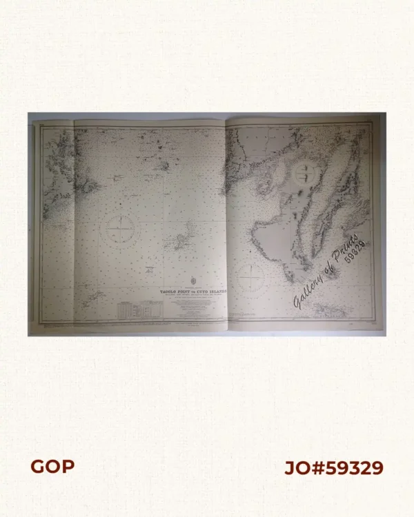
Philippine Islands. Tagolo Point to Cuyo Islands. Including Sebu Negros and Parts of Panay and Palawan. From the United States Coast Survey Charts to 1923.
₱11,000.00 -
![The Manila Railway Company [1906] Limited. "A" Debenture Bond No. A 12930. £ 100 - with many coupons](https://www.gop.com.ph/wp-content/uploads/2015/08/jo59446-Manila-Railway-Company-1906-600x750.webp)
The Manila Railway Company [1906] Limited. “A” Debenture Bond No. A 12930. £ 100 – with many coupons
₱13,200.00 -
![Rue de Samboangan (Ile Mindanao) [Street…]](https://www.gop.com.ph/wp-content/uploads/2015/08/JO54925-Dumont-dUrville-1846-Rue-de-Samboangan-600x750.webp)
Rue de Samboangan (Ile Mindanao) [Street…]
-
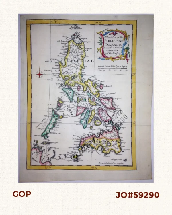
A New Map of the Philippine Islands, Drawn from the best Authorities