
Prints
Showing 1882–1890 of 2056 resultsSorted by latest
-
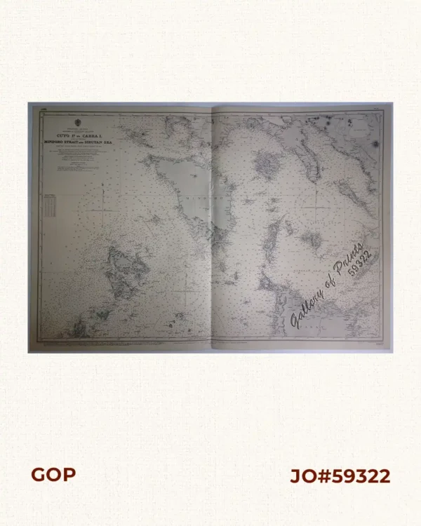
Philippine Islands. Mindoro and Adjacent Islands. Cuyo Is. To Cabra I. Including Mindoro Strait and Sibuyan Sea. From the United States Cost Survey Charts to 1922.
₱11,000.00 -
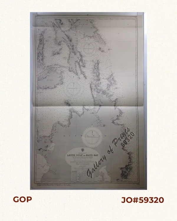
Philippine Islands. Leyte Gulf To Mayo Bay. Including Leyte,Parts of Sebu and Bohol and the North-Eastern Cost of Mindanao. From the United States Cost Survey Charts to 1922.
₱11,000.00 -
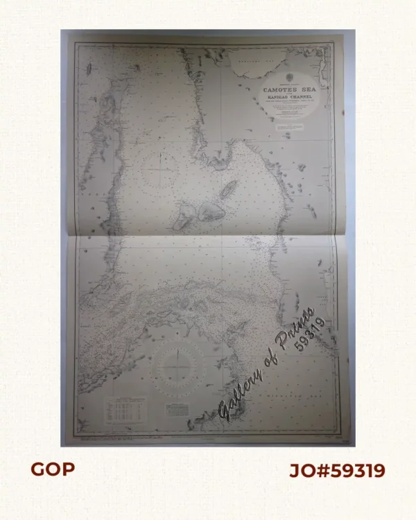
Philippine Islands. Camotes Sea with Canigao Chanel. From the United States Government Charts to 1932. with corrections to 1934.
₱11,000.00 -
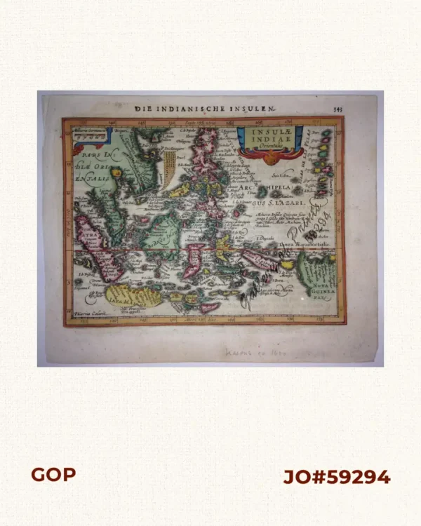
Insulae Indiae Orientalis Die Indianische Insulen . 343
-
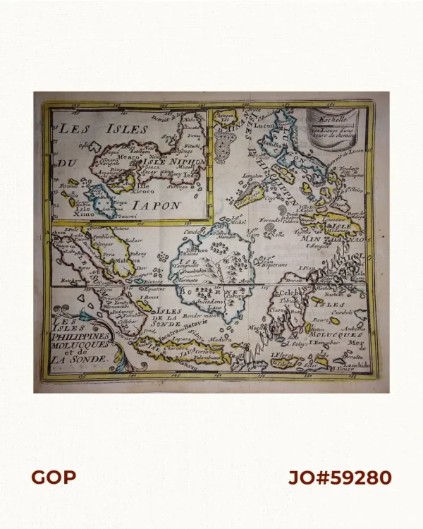
Les Isles Philippines Molucques et de La Sonde Les Isles du Iapon
₱26,400.00 -

Philippine Islands. Sibuyan Sea to San Bernardino Strait. From the United States Government Charts to 1934.
₱11,000.00 -
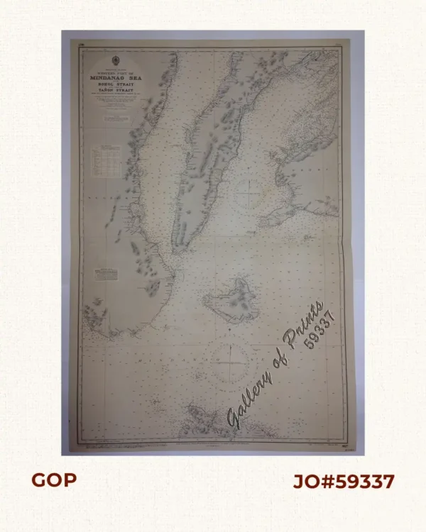
Philippine Islands. Western Part of Mindanao Sea with Bohol Strait and Part of Tañon Strait. From the United States Government Charts to 1937.
₱11,000.00 -

Philippine Islands. Luzon Island. North of Latitude 16° 20′ North. From the United States Cost Survey Charts to 1925. With additions and correctionsfrom the Philippine Gov’t. Charts to 1963. Soundings in hairline enlarged from smaller scale charts.
₱11,000.00 -

Philippine Islands. Cuyo East Pass. From the United States Government Charts of 1937. With Additions and Corrections to 1964 Soundings in Hairline have been taken from Smaller Scale Charts.
₱11,000.00