Description
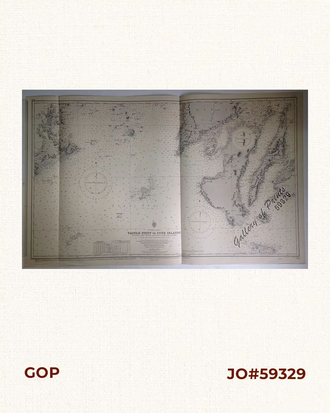
lithograph. Map#3809. Small corrections 1924[many subsequent years stated till] 1961 – Z/c 1958. Seal of the Hydrographic Office – 3 Sea Roses with 360 degrees.

₱11,000.00
Author: Malby & Sons
Publisher: Admiralty London, 19th Aug. 1924 under the Superintendence of Vice Admiral Fred K.C. Learmonth,C.B.,C.B.E., Hydrographer.
Year: 1961 [1924]
Size: 66.2 x 111.4 cm
1 in stock
lithograph. Map#3809. Small corrections 1924[many subsequent years stated till] 1961 – Z/c 1958. Seal of the Hydrographic Office – 3 Sea Roses with 360 degrees.
with folds as issued.