
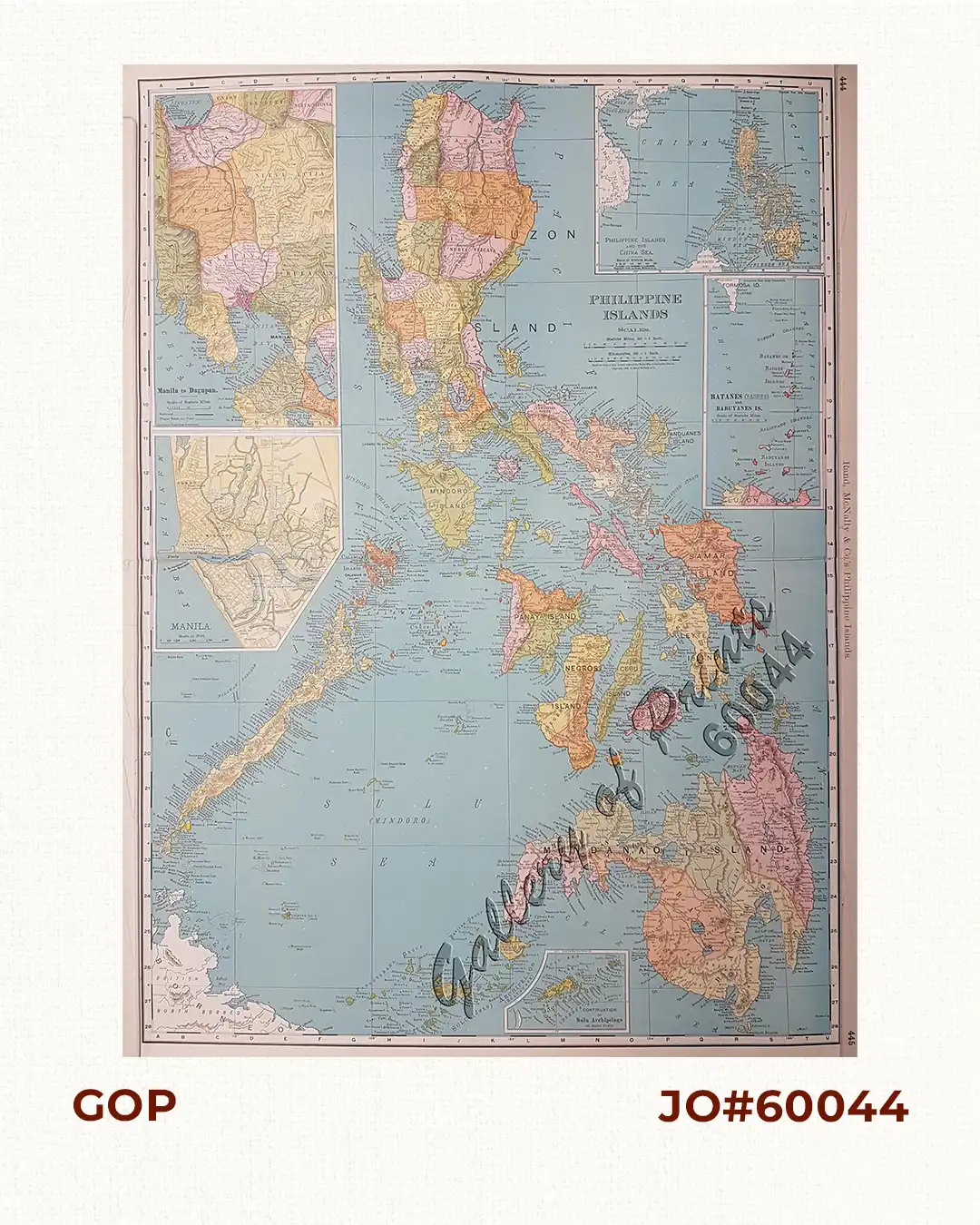
Description
original-colour lithograph.
Large and highly detailed map from ‘Rand McNally Commercial Atlas of America’, p. 444/445. The shipping routes between the main cities are printed in red dotted lines. On verso is a key to the principal cities. According to Rumsey, from the 33rd edition of this atlas, maps change from the 1890’s editions.


