Description
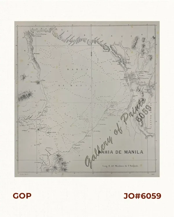
map published by the Government Printing Office in Washington, as a reduced version of the famous Villavicencio map of 1872 published in 1874.

![Archipiélago Filipino. Plano del Puerto de Cavite con sus ensenadas de Cañacao y Bacoor y parte de la bahia de Manila hasta Parañaque, levantado en 1872 por la comision hidrográfica de Filipinas al mando del teniente de Navio de 1a. clase. [inset:] Arsenal de Cavite](https://www.gop.com.ph/wp-content/uploads/2019/06/jo55283-Villavicencio-1898-Plano-del-Puerto-de-Cavite-scaled-1.webp)
Author: D. Manuel Villavicencio
Publisher: United States Gov't Printing Office, Washington
Year: 1898 [1874]
Size: 35 x 48 cm, inset: 13.2 x 17.2 cm
map published by the Government Printing Office in Washington, as a reduced version of the famous Villavicencio map of 1872 published in 1874.
with folds as issued, tight upper right margin.