Description
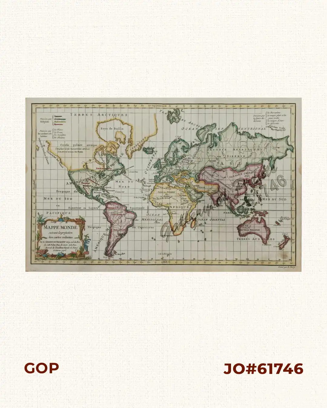
hand-coloured copper engraving.
World Map from ‘Nouvel Atlas Portatif destiné principalement pour l’Instruction de la Jeunesse & precedé d’un Discours sur l’Utede de la Geographie’, published by Chez le Sr. Fortin, Paris. 18th century French map of the world on Mercator’s Projection with decorative title. Australia and New Zealand are shown with the discoveries made by James Cook on his first voyage.
Vaugondy was one of the leading exponents of the French School of Theoretical Cartography and like Nicholas Bellin popularised the notion of an imaginary east coast of Australia.
![Typus freti Manilensis detroit de Manilles [Straits of Manila]](https://www.gop.com.ph/wp-content/uploads/2015/05/JO54051-Renneville-1725-Philippines-Manila-Samar-Mindoro-Luzon-scaled-1-600x750.webp)