Description
hand-coloured copper engraving.
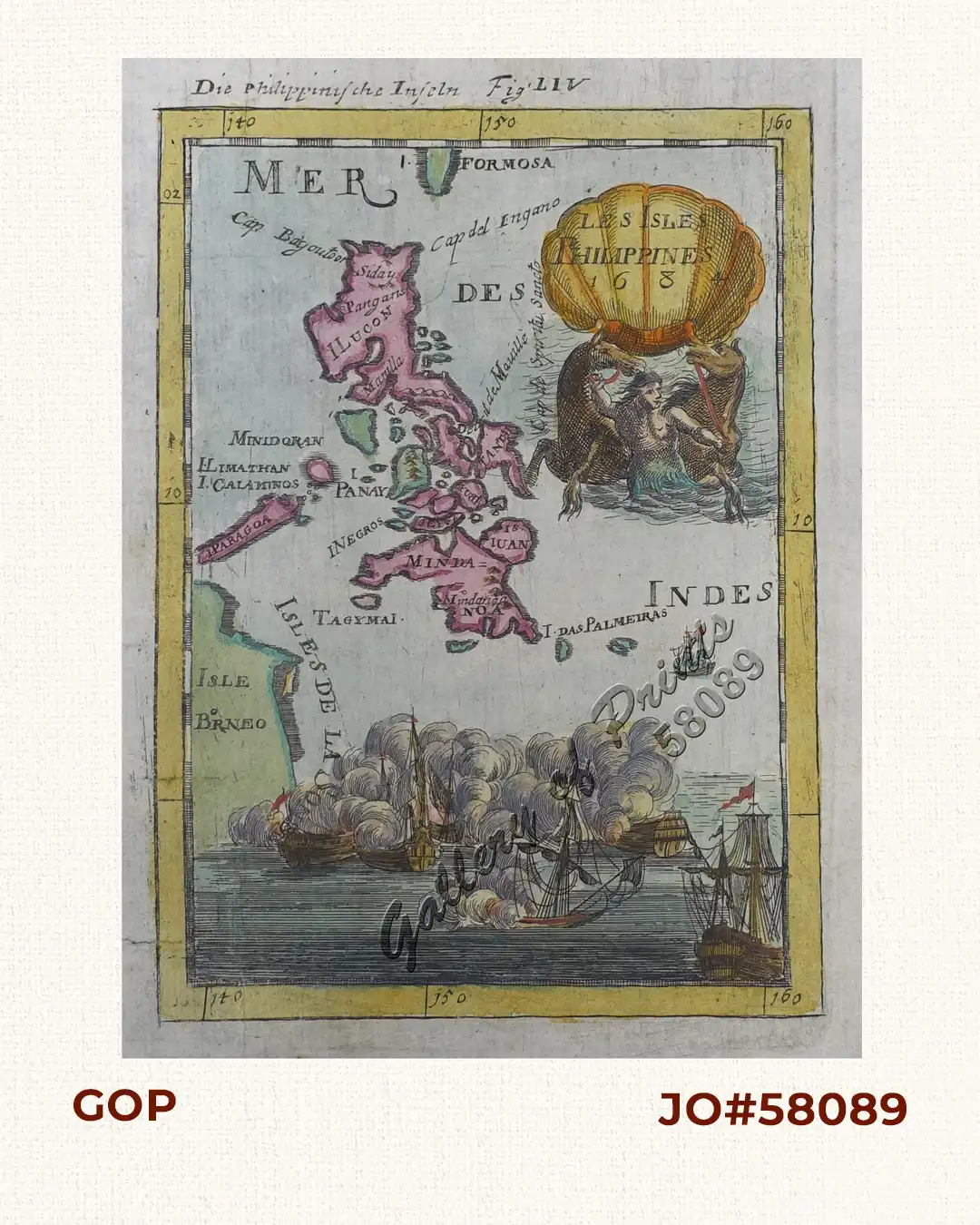
RARE map from ‘…Beschreibung des gantzen Welt-Kreyses…, das alte & neue Asia…, FIRST GERMAN edition, pl. 54, original French edition: 1683.
This print consists of 3 parts: a decorative cartouche, the map of the Philippines, and the Sea Battle between Van Noort and de Morga at the mouth of Manila Bay in 1600. Mallet was a Cartographer and Engineer (1630-1706), his work describes in 5 parts all nations on all 5 continents. He was a soldier, first in the Portuguese and then in the French army of Louis XIV.