
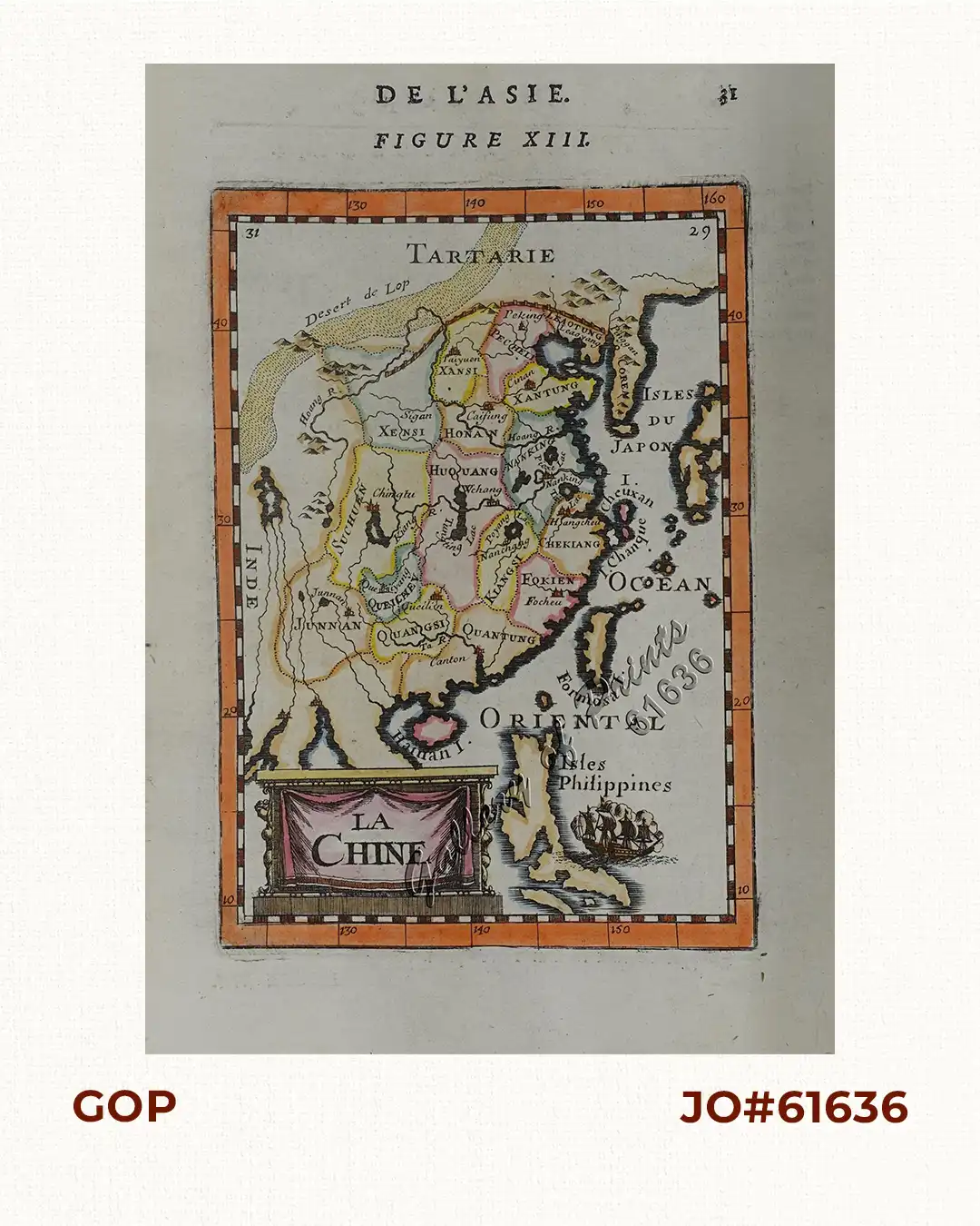
Description
hand-coloured copper engraving.
Map from the original French text edition of “Description d’Univers…” – Fig. 13, pl. 31; A charming small map of China, Taiwan, the Philippines, Korea, and Kyushu (Japan). Allain Manneson Mallet (1630-1706) was a well travelled military engineer and geographer who worked in 17th century France under King Louis XIV. Mallet’s work covered all continents in several volumes.
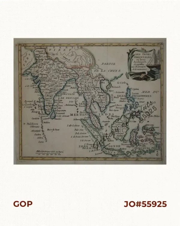
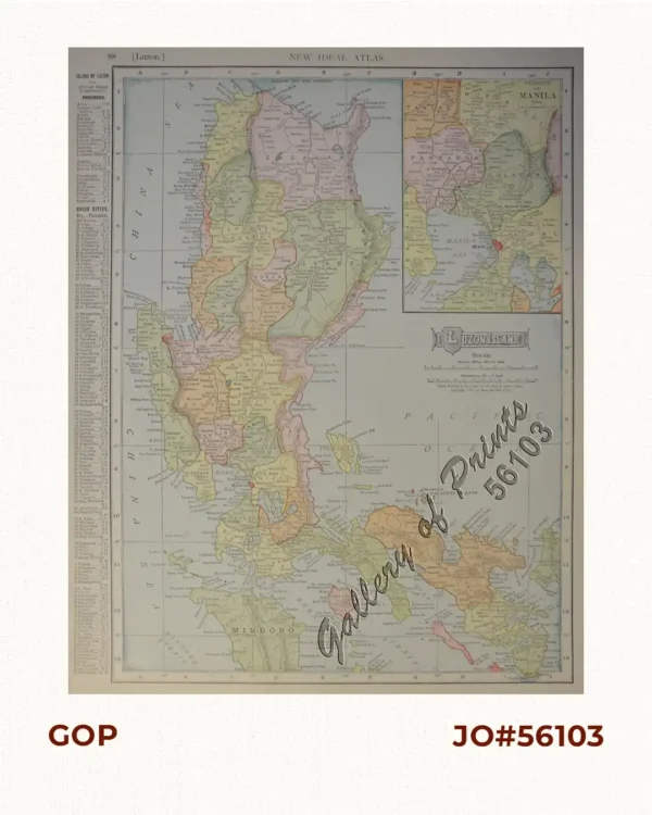
![Isla de Luzon pl. 10, inset: Pto. de Banacalan [Marinduque] (Quezon [or Tayabas], Camarines Norte, Marinduque, Balegin [Balesin], Calbalete [Cagbalete]… )](https://www.gop.com.ph/wp-content/uploads/2023/08/JO64134-Algue-1900-Isla-de-Luzon-scaled-1-600x750.webp)