Description
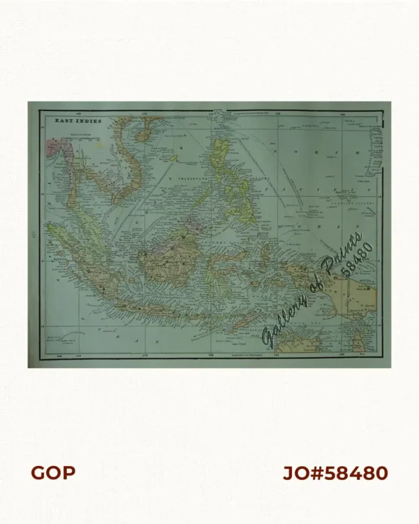
original colour lithograph, with roads and rivers marked. verso: Southern France and Pacific Arena with text articles. RARE WW II map.
Map from “Newsmap for the Armed Forces, 258th Week of the War – 140th Week of U.S. articipation, Monday, 21 August, 1944.