
Description
uncoloured lithograph.
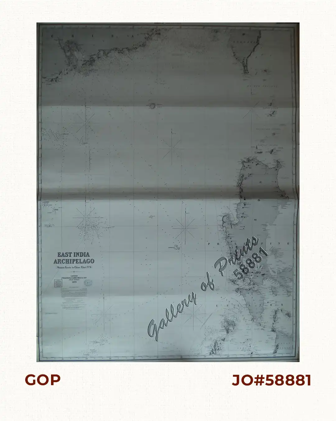
EXTREMELY RARE sea chart published by James Imray & Son in London. text on top of map: ‘Sheet 12 (Western route to China)’, [in six charts. Chart No.6]. Publisher’s ink stamp on chart “Imray & Son. London. 1873”. Large detailed Blue-back Chart with extensive soundings, shows the extreme South of China including Hongkong (named as Hong-Kong), Southern Taiwan, Northern Philippines from Batanes along Western Luzon till Extreme Northern Palawan and Northern Panay.

![Islas de Infanta y Polillo pl. 12 [Quezon Prov., Polilio Is., Pananongan I., Jomalig I.]](https://www.gop.com.ph/wp-content/uploads/2023/08/JO62585-Algue-1900-Quezon-Province-Polilo-Jomalig-Patnanongan-scaled-1-600x750.webp)
![Typus freti Manilensis detroit de Manilles [Straits of Manila]](https://www.gop.com.ph/wp-content/uploads/2015/05/JO54051-Renneville-1725-Philippines-Manila-Samar-Mindoro-Luzon-scaled-1-600x750.webp)
