Phone: +63 2 7729 8168 | Mobile: +63 917 806 4291

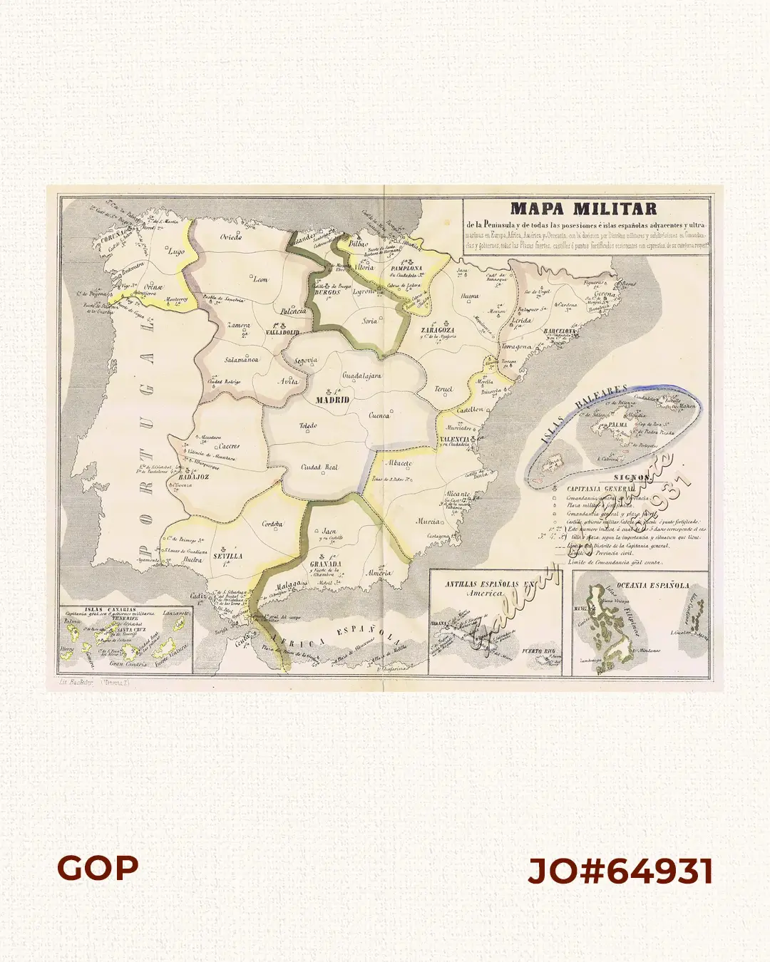
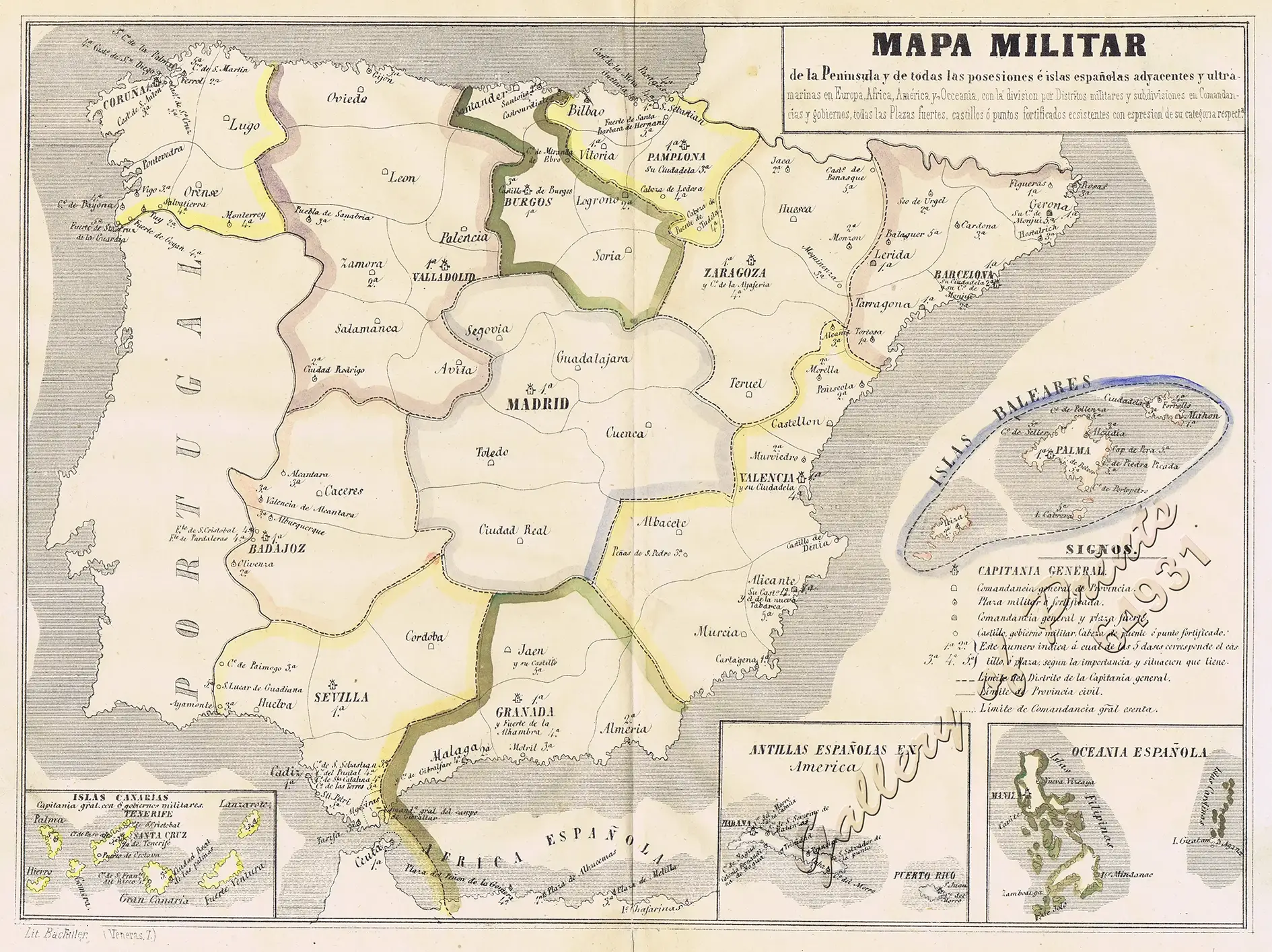
Mapa Militar de la Peninsula y de todas las posesiones é islas españolas adyacentes y ultramarinas en Europa, Africa, América y Occenia, con la division por Distritos militares y subdivisiones en Comandancias y gobiernos, todas las Plazas fuertes, castillos ó puntos fortificados ecsistentes con espresion de su categoria respecta. [Military map of the peninsula and all the adjacent and overseas Spanish possessions and islands in Europe, Africa, America and Oceania, with the division by military districts and subdivisions into Commands and Governments, all existing strongholds, castles or fortified points with an expression of their respective category] [insets:] [1] Islas Canarias. [2] Antillas Españolas en America. [3] Oceania Española. [Islas Filipinas / Islas Carolinas]

₱11,000.00

Author: Francisco Jorge Torres Villegas [auth.] / [Doroteo] Bachiller (lith.)

Publisher: printing house of José María Alonso in 1852.

Year: 1852

Size: 26 x 35.1 cm; insets: 1) 5.6 x 7.2 cm, 2) 5.7 x 7.1 cm, 3) 5.7 x 7.3 cm

Reference: UNRECORDED – not in Quirino; not in Phillips

1 in stock

Description

original hand-colour lithograph.

Interesting VERY RARE Spanish map from ‘Cartografia Hispano-Cientifica o sea Los Mapas Españoles, en que se représenta á España Bajo todas sus differntes fases.’ of Francisco Jorge Torres Villegas, member of the Económica Matritense de Amigos del País; map was published by the printing house of José María Alonso in 1852, engraved by the Doroteo Bachiller (?-1866, who also signed as D. Bachiller), a Spanish draftsman and lithographer who was active until his death. Splendid military map of the Iberian Peninsula and its possessions including the Islas Filipinas in the mid-19th century.

Condition

with centrefold as issued, very good condition.

Shopping cart0
There are no products in the cart!
Continue shopping
0