
Description
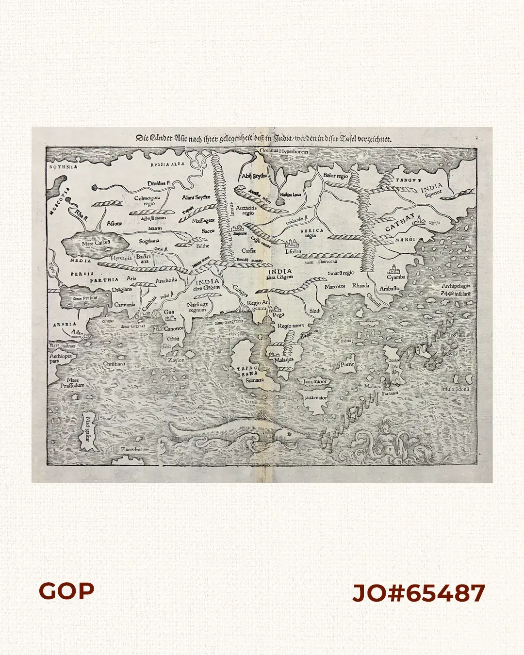
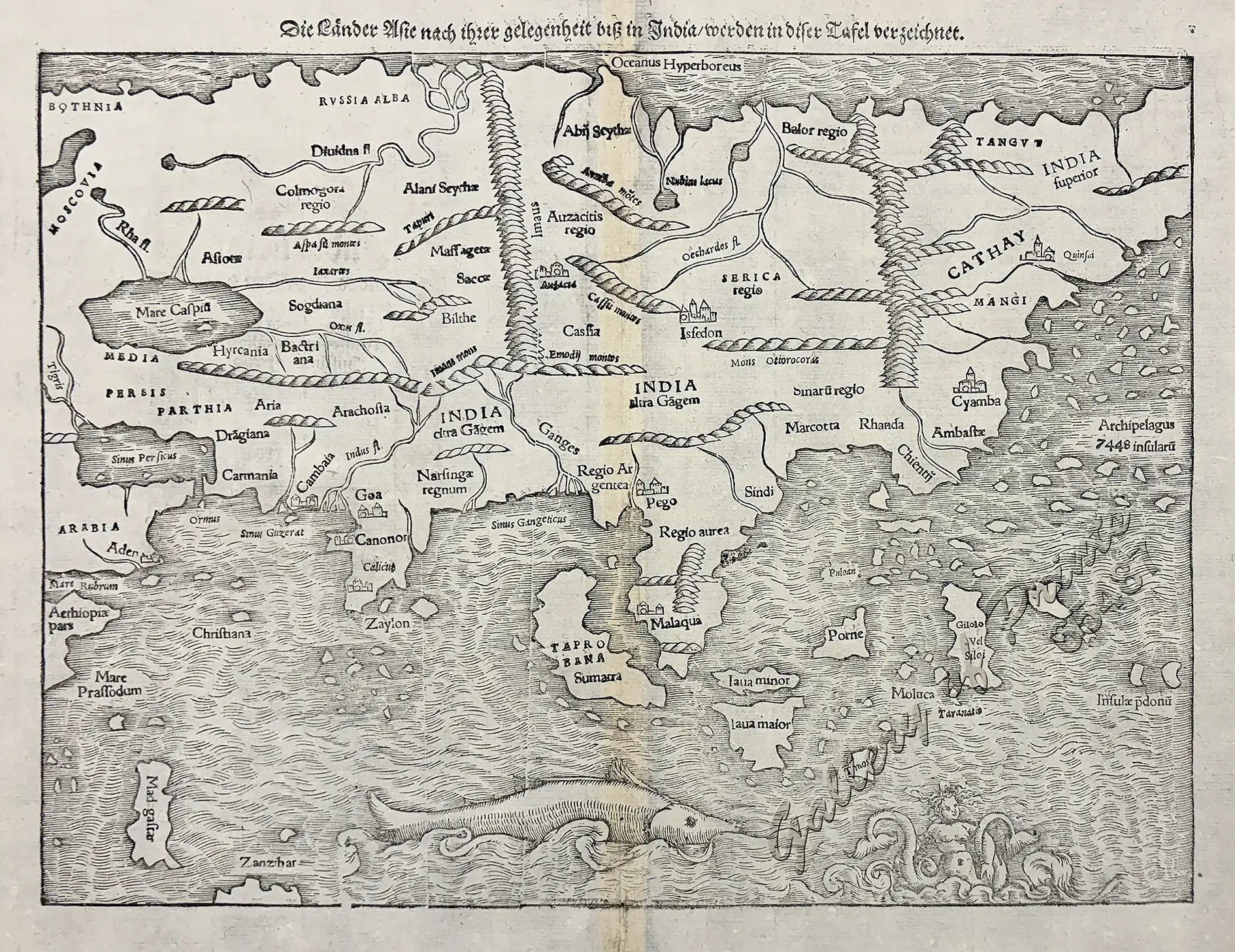
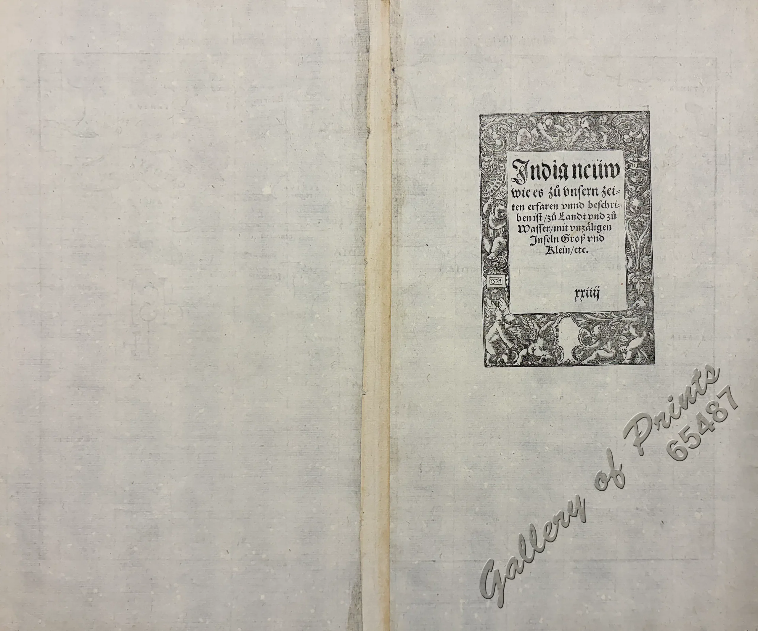
wood engraving. mit unzäligen Inseln Groβ und Klein / etc. ” [New India Presently Collected and Described Lands and Waters with Countless Islands Large and Small…].
A very important map for the Philippines from the “Cosmographia” (German edition), published by Heinrich Petri in Basel. Münster created 3 firsts of great significance:
1) the first map to present Asia on its own; part of presenting each of the four known continents (America, Africa, Asia and Europe separately in one publication.
2) the first map of a German cartographer to identify a Philippine Island: Puloan [Palawan].
3) the first description of the world in German language.
It had numerous editions in different languages including Latin, French, Italian, English, and even Czech, making the Cosmographia one of the most successful and popular works of the 16th Century. It amassed 24 editions in 100 years. This success was due to the fascinating woodcuts (some by Hans Holbein the Younger, Urs Graf, Hans Rudolph Manuel Deutsch, and David Kandel), and the many detailed maps. The last posthumous German edition was published 1628.
The map’s creator, Sebastian Münster (1488–1552), was an eminent German mathematician, linguist, and cartographer who played a pivotal role in expanding European geographical knowledge. Before settling in Basel in 1529, he served as a Professor of Hebrew at Heidelberg. Münster authored two monumental works—the Geographia and the Cosmographia—with the latter serving as an encyclopaedic masterpiece of maps, city views, and global lore. Renowned for several major cartographic milestones, including producing the first separate maps of each of the four known continents and the first separately printed map of England, it became the most widely read publication of its era in the many German-speaking nations, with over 50,000 copies printed across nearly 40 editions in 6 languages well into the 17th Century and long after his untimely death of the plague in 1552.


