Description
copper engraving, with verso text: “Asia.” in German language.
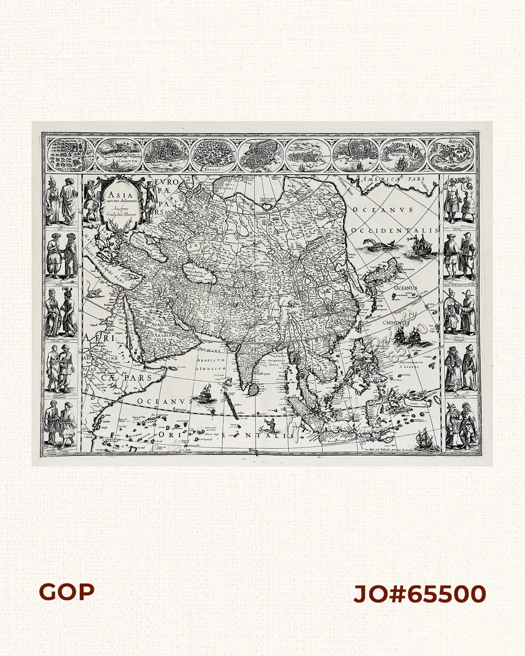
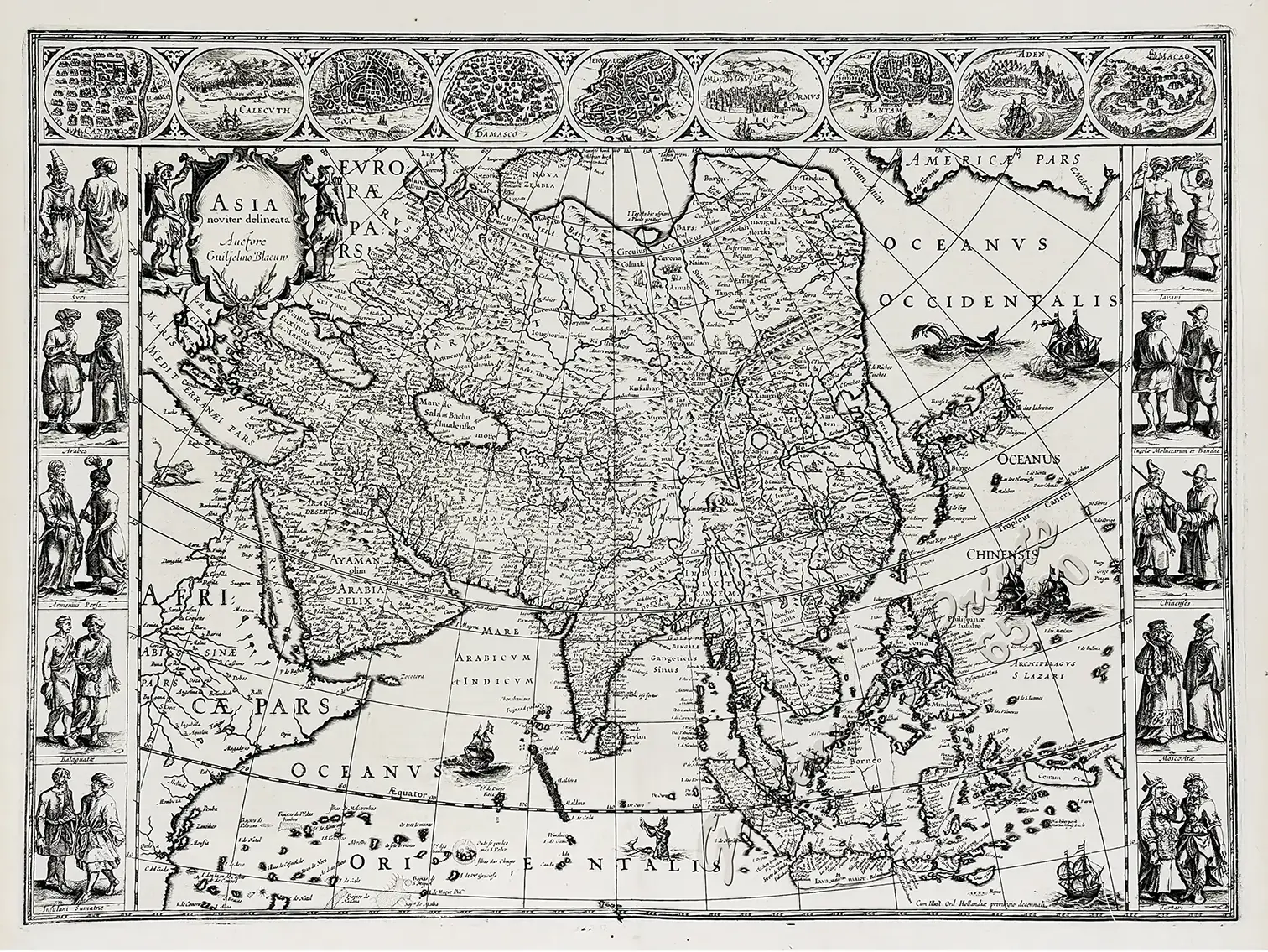
EXTREMELY RARE and stunningly beautiful map of Asia, emballished with vignettes on all four sides. This fine copperplate engraving of Asia represents one of the quintessential masterworks of Dutch Golden Age carte-à-figures cartography. Present in its second state, as denoted by the updated publisher attribution “Auctore Guiljelmo Blaeuw” in the upper-left cartouche, this edition reflects the revised plate prepared for Blaeu’s landmark atlas publications.
The composition is framed along its upper margin by an architectural frieze featuring nine oval city perspectives depicting prominent Asian ports and trading hubs of the era, including Candy, Calecut, Goa, Damascus, Jerusalem, Ormus, Bantam, Batavia, and Macao. Flanking the geographic field along the left and right margins are ten vertical panels depicting indigenous inhabitants clad in regional costume, representing Syrians, Arabians, Armenians, Persians, Indians, Chinese, Javanese, and Japanese. The body of the map is embellished with a decorative title cartouche, ocean-going European vessels, native sea monsters, and terrestrial fauna, including camels, lions, and elephants traversing the continental interior. Geographically, the map synthesises contemporary exploration data gathered by the Dutch East India Company with persistent Renaissance cartographic concepts. Korea is rendered as a long, slender peninsula or near-island, while the Japanese archipelago appears in the characteristic horizontal orientation typical of early 17th century mapping. The Great Wall of China is distinctly engraved across the northern frontier of China, while the mythical Lake Chiamay is depicted supplying major river systems in Southeast Asia. To the north, the elusive Fretium Anian is shown separating Asia from North America, reflecting the contemporary search for a Northwest Passage. In this uncoloured state, the sheet highlights the crisp, articulate burin line work, fine cross-hatching, and subtle stippling of the original copper plate, while the reverse side bears original German letterpress text set in two columns with decorative woodcut initials.