![Carte de la Malaisie [Map of the Malayan Archipelago] (Partie Nord-Ouest de l'Océanie) [View of North West Pacific]](https://www.gop.com.ph/wp-content/uploads/2026/09/JO-65365-Carte-de-la-Malaisie-1851-60-copy.webp)
![Carte de la Malaisie [Map of the Malayan Archipelago] (Partie Nord-Ouest de l'Océanie) [View of North West Pacific] - Image 2](https://www.gop.com.ph/wp-content/uploads/2026/09/JO-65365-Carte-de-la-Malaisie-1851-60.webp)
Description
original-handcolour steel engraving. UNCOMMON.
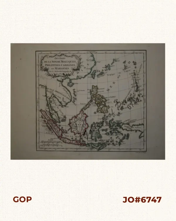
Mid 19th C. French map of South East Asia pl. no. 52, from the ‘Atlas Universel de Géographie Physique, Politique, Ancienne et Moderne’ by Brué. It features distinct outline colouring to delineate political boundaries and colonial spheres of influence across the region, distinguishing the Dutch East Indies, Spanish Philippines, British possessions, and independent native kingdoms. Along the lower margin, the map includes comprehensive distance scales and a comparative topographical key illustrating mountain elevations across Java. The prominent original surveyor Adrien-Hubert Brué (1786–1832): was a pioneering French Royal Cartographer who had personal seafaring experience from the famous Baudin expedition to the South Seas. His meticulously drawn foundational maps served as the gold standard for accuracy; this plate was later revised and updated by geographer Émile Levasseur (1828–1911), a prominent French economist, geographer, and member of the Institut Géographique de Paris. After Brué’s death, Levasseur was tasked with completely reviewing, updating, and revising Brué’s foundational plates to match modern 1850s political boundaries, telegraph cables, and trade routes.