Description
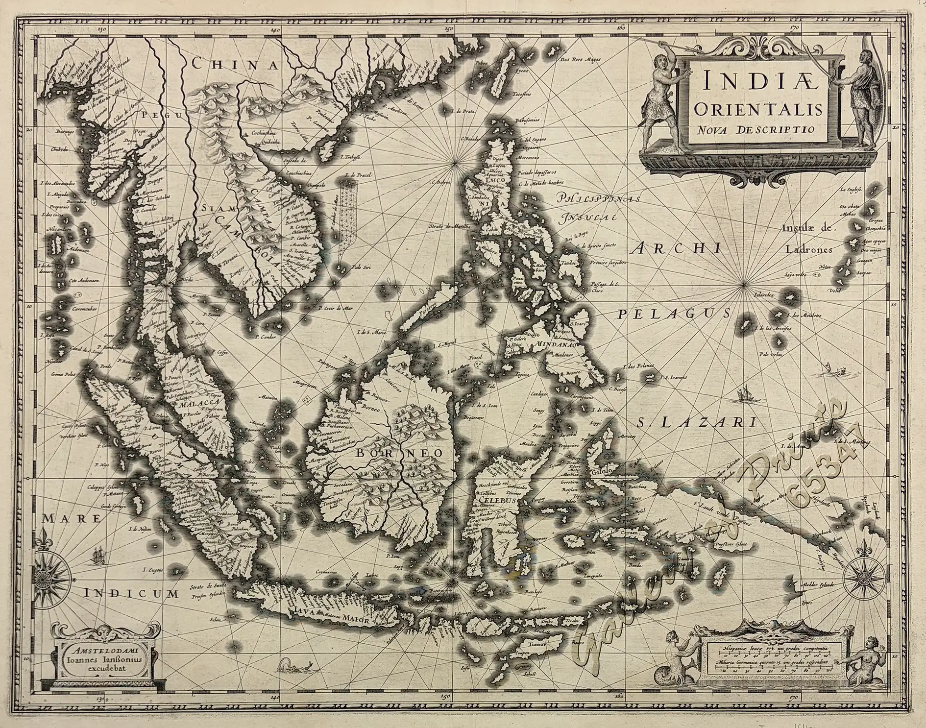
copper engraving, verso: blank – an EXTREMELY RARE first edition.
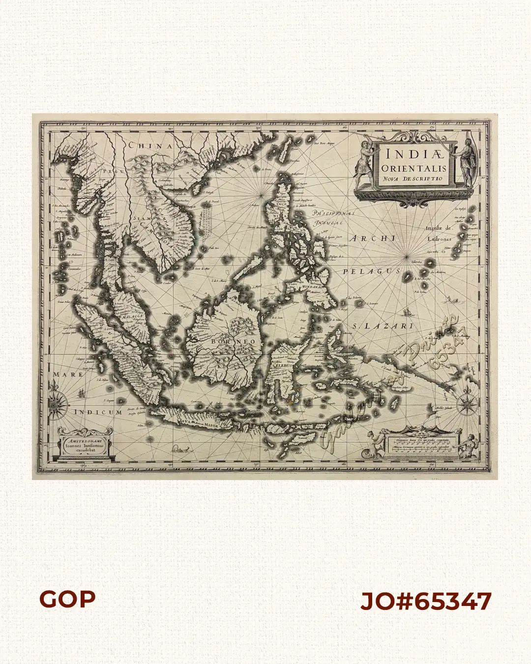
Stunningly elegant map of Southeast Asia and its archipelago, decorated with 3 cartouches, 2 compass roses, ships and sea monsters. When first issued in 1630, it was the first to show the New Guinea discoveries by the ship “Duyfken” under Willem Janszoon, evidenced by showing “Duyfkens Eylant” – and equally it boasts of a fairly accurate representation of the Philippines, albeit with the fictional island San Juan “S. Ioani”. Janszoon is also credited with charting the West Coast of today’s Cape York in Queensland/Australia in the belief, he was surveying New Guinea and unaware he discovered a new Continent. As a result, this map is a landmark for Dutch Cartography of the 17th Century and a Must for any collector of Philippines, Southeast Asia, and Australia maps.
Johannes Janssonius (1588–1664), also known in English as Jan Jansson, was a Dutch cartographer and publisher, who lived and worked in Amsterdam and is regarded as one of the notable figures in the Golden Age of Dutch cartography (c. 1570s–1670s), continuing the work of his famous father-in-law Jodocus Hondius. In 1612 he married Elisabeth de Hondt, the daughter of famous cartographers Jodocus Hondius and Colette van den Keere [Kaerius]. He worked in the family business of his parents-in-law, along with his brothers-in-law, the cartographers Henricus Hondius II and Jodocus II.