Description
hand-coloured copper engraving.
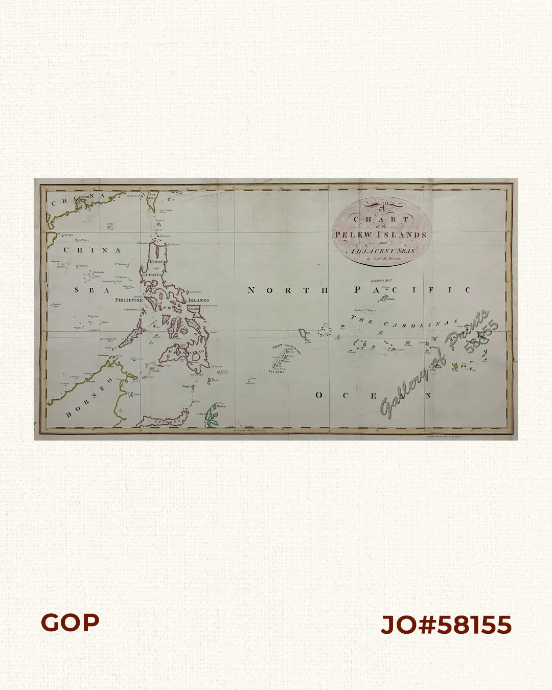
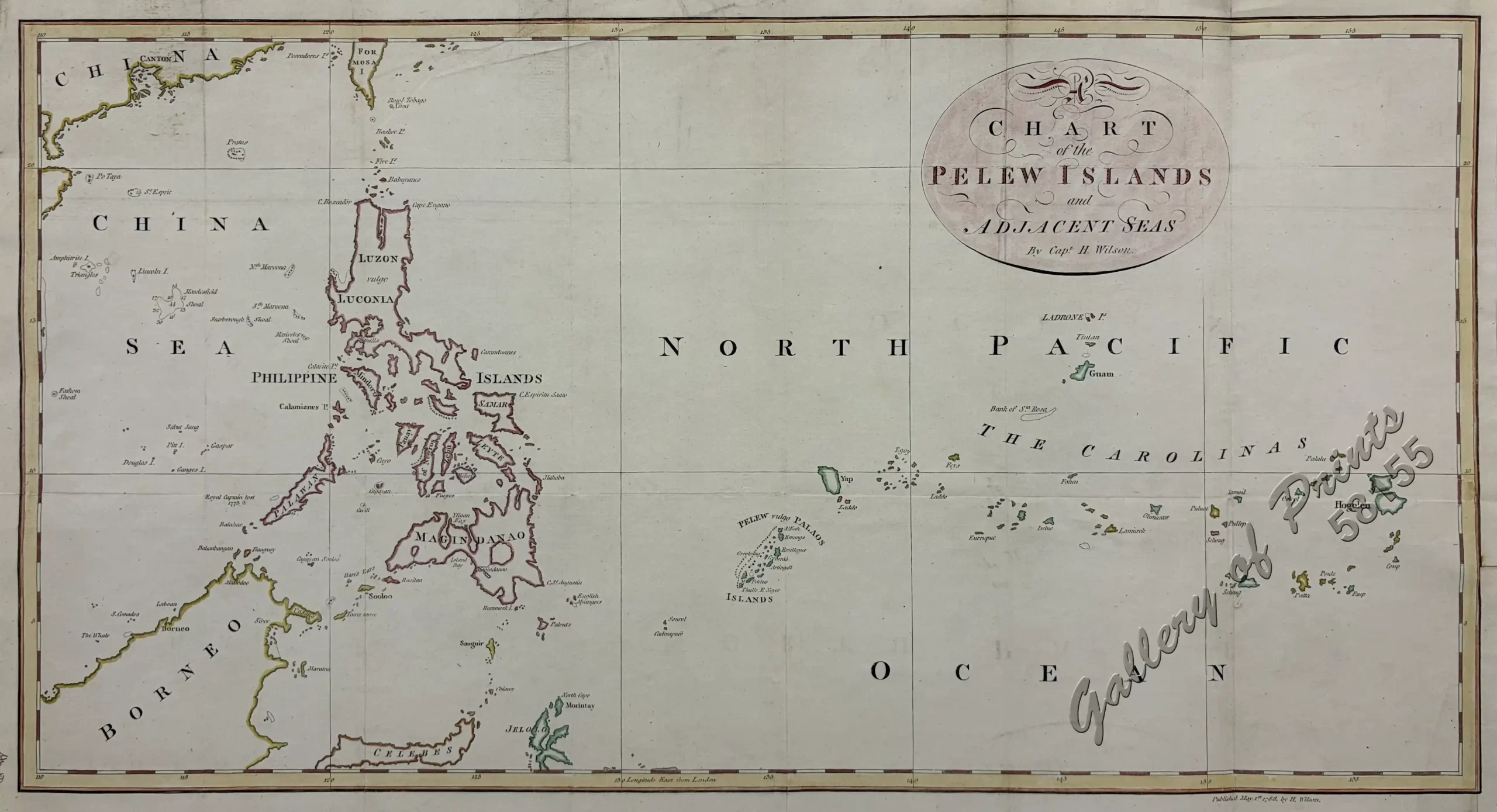
Great map from ‘An Account of the Pelew Islands,…’, 4th ed., published by George Nicol, Pall Mall, London, showing the entire Philippine Archipelago and the West Philippine Sea and Western Pacific with Palau. In August 1783, the ‘Antelope’, commanded by Wilson, ran aground near one of the Pelew islands and was wrecked. These hitherto unexplored islands were investigated by Wilson and his crew, who managed to escape safely to shore. The islanders treated them well, and when, by means of a small vessel built from the wreck, they left the islands for Macao, they took with them Prince Le Boo, or Libu, one of the king’s sons.
Wilson brought him to England, where he created a very good impression, but unfortunately he later died
of smallpox.