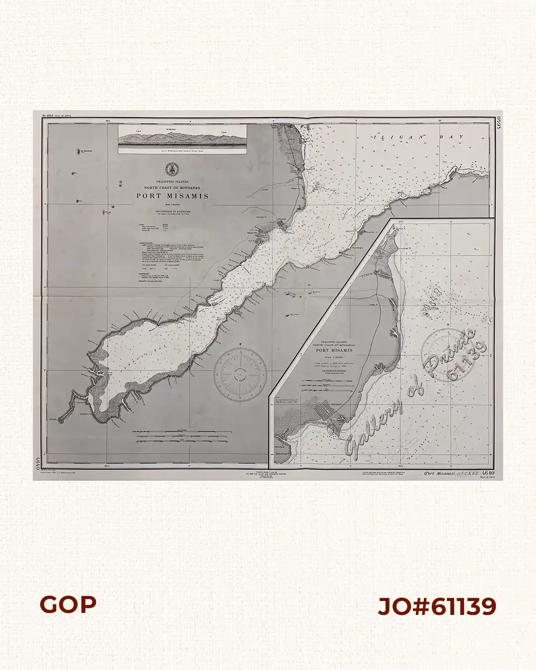
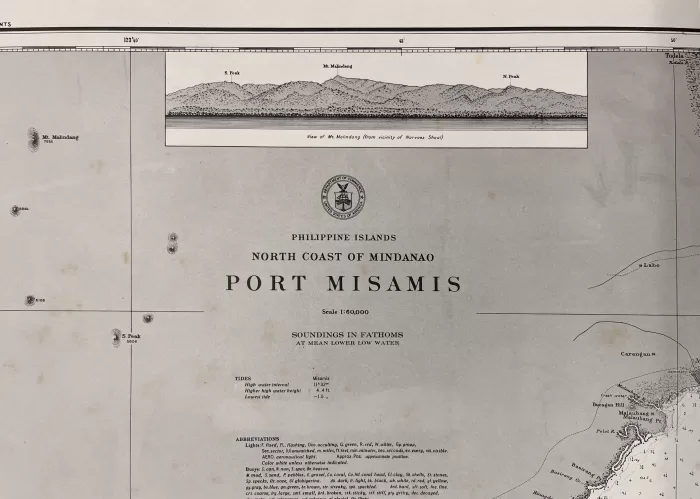
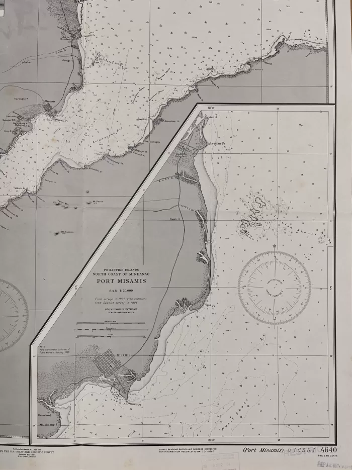
Description
RARE collectible 1944 World War II lithograph map #4640, seachart published at Manila, P.I. Apr. 1938 by the U.S. Coast and Geodetic Survey, Reissued May 1940, L.O. Colbert, Director.
with stamp dated Sep 12 1944.
with stamp “restricted”
Corrected through Notice to Mariners No. 56 Sep 2 1944, Hydrographic Office Navy Department.
with “38-4/6, 40-5/11, 41-3/14, Special Printing at Wash. D. C. (reprint 42- 6/16); 44-4/25”

![Typus freti Manilensis detroit de Manilles [Straits of Manila]](https://www.gop.com.ph/wp-content/uploads/2015/05/JO54051-Renneville-1725-Philippines-Manila-Samar-Mindoro-Luzon-scaled-1-600x750.webp)