Phone: +63 2 7729 8168 | Mobile: +63 917 806 4291

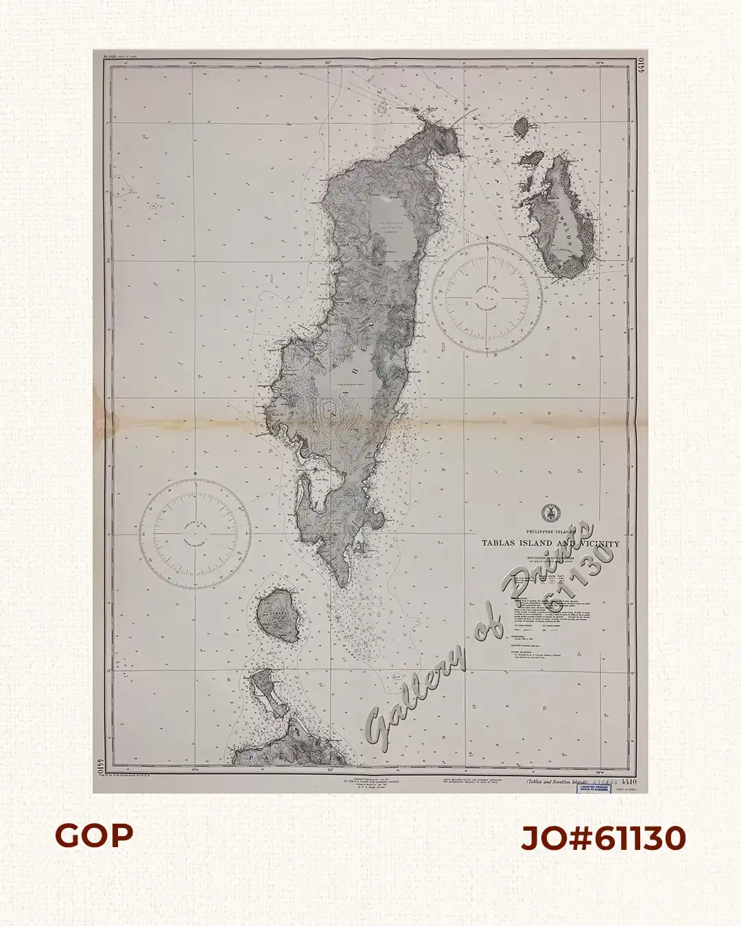
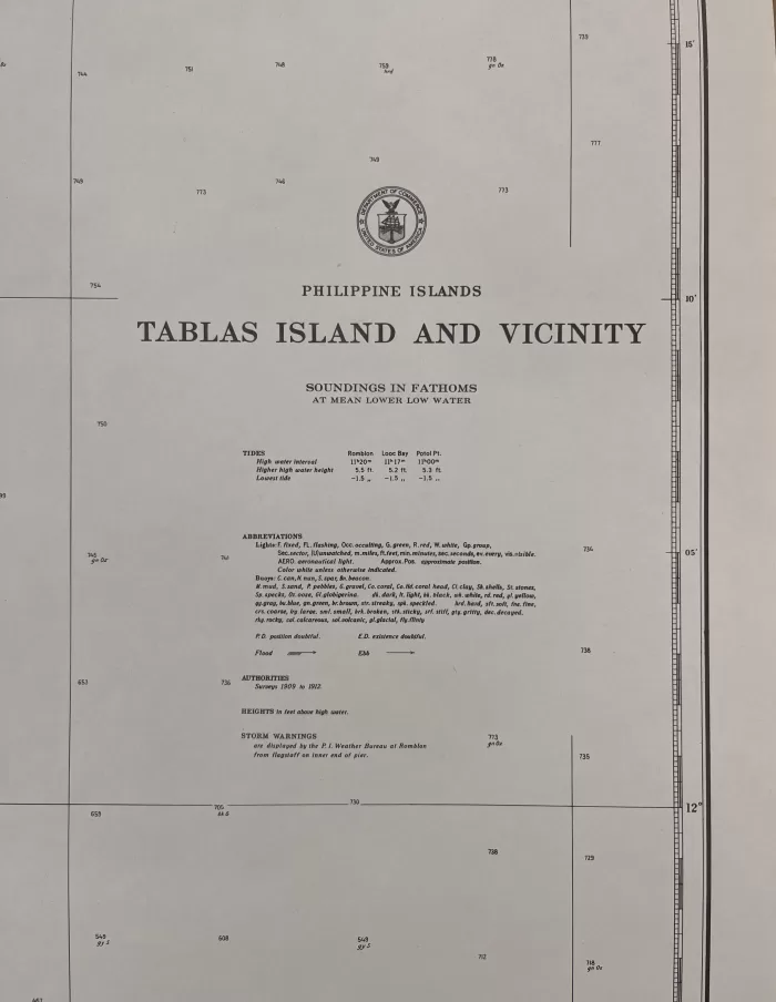
Philippine Islands Tablas Island and Vicinity

11,000.00

Author: U. S. Coast and Geodetic Survey [U.S.C. & G.S.]

Publisher: U.S. Coast and Geodetic Survey, Washington, D.C.

Year: 1951 [1941] [1913]

Size: 96.4 x 72 cm

1 in stock

SKU: 61130 Category: Tags: ,

Description

RARE collectible 1941 World War II lithograph map #4410, seachart published at Washington, D. C. June 1913
by the U.S. Coast and Geodetic Survey, Reissued at Manila, P. I. May 1941, R. F. A. Studds, Director.
Corrected through Notice to Mariners No. 52, Dec 29 1951, U.S. Navy Hydrographic Office.
with “13-6/1, 20- 3/13, 23- 5/8, 28-12/24, 37-6/19, 41-5/7, 51-3/5”

Condition

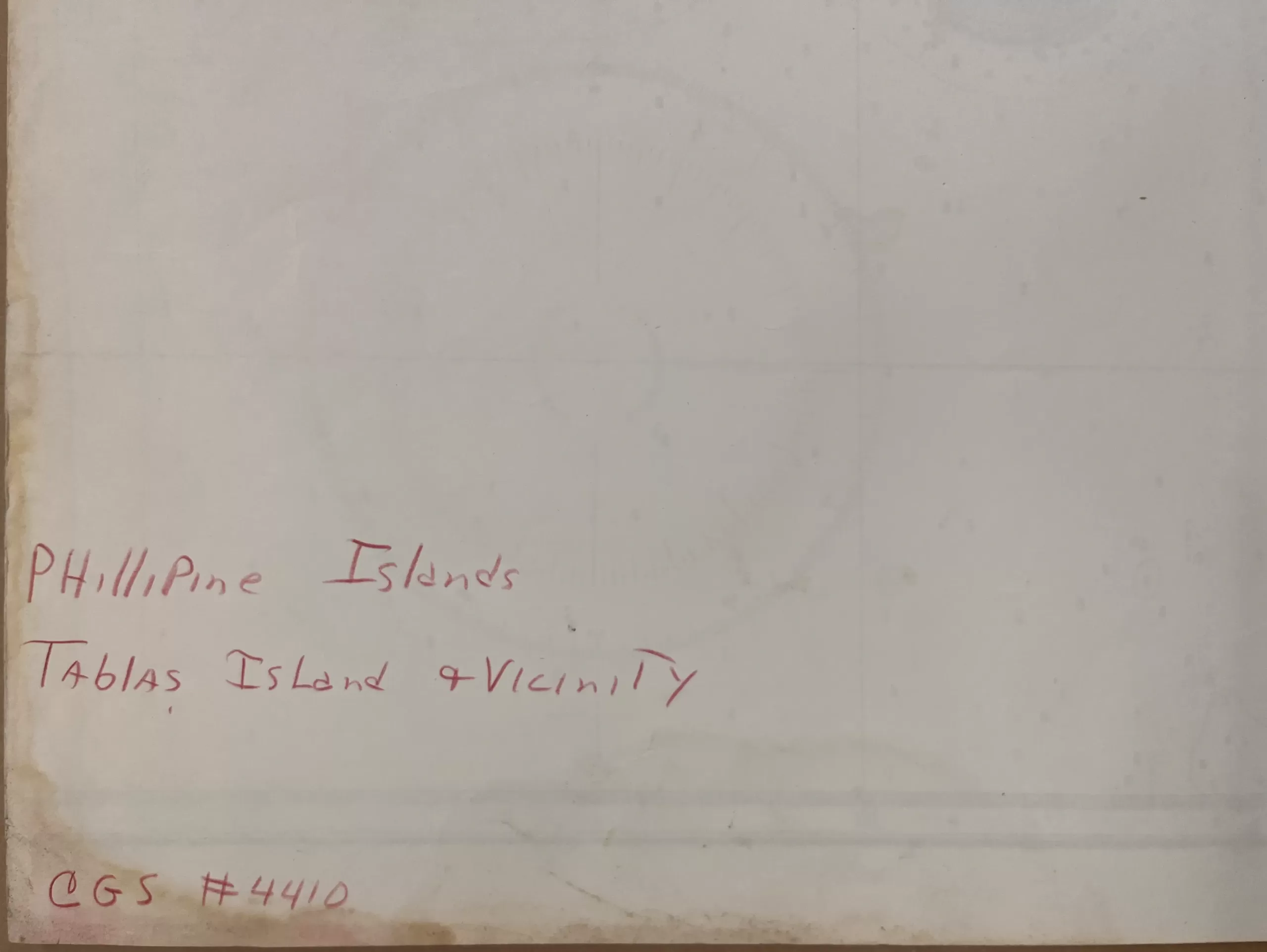
with folds as issued, with hand-written title “Phillipine Island Tablas Island & Vicinity” on verso, with stains along centrefold, affecting plate otherwise very good condition.

Shopping cart0
There are no products in the cart!
Continue shopping
0