
Description
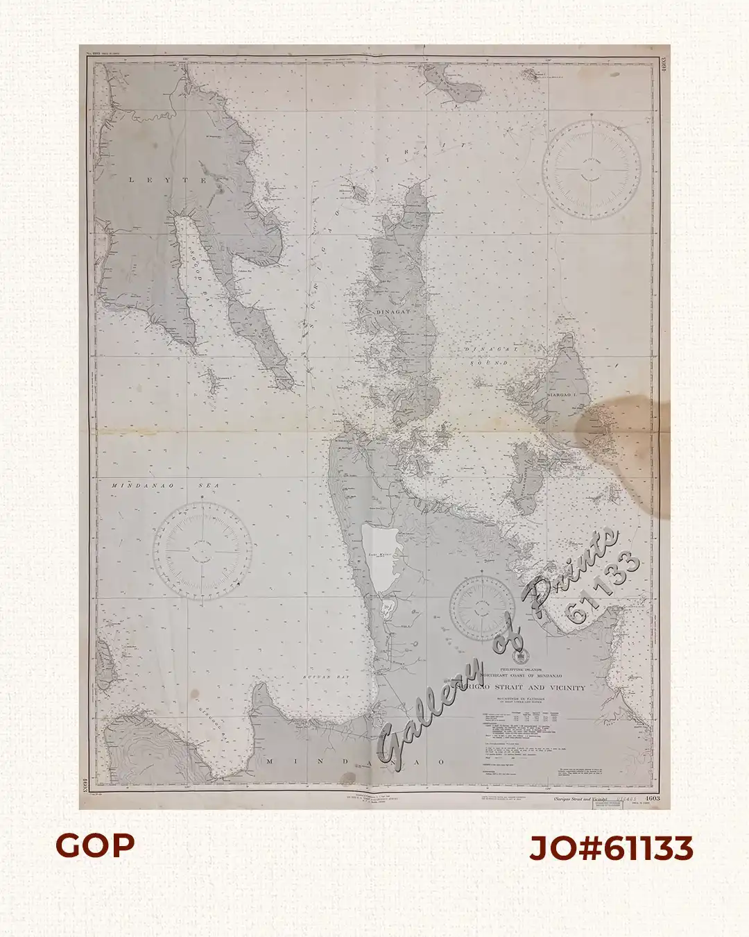
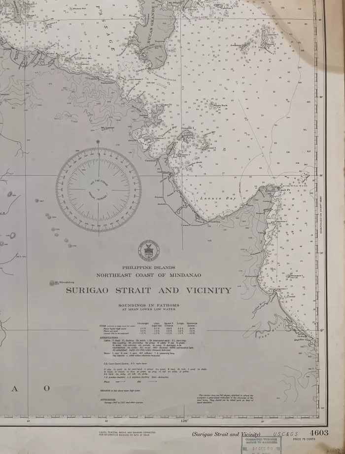
RARE collectible 1945 World War II lithograph map #4603, seachart published at Washington, D.C., Sept. 1945 by the U.S. Coast and Geodetic Survey, R. F. A Studds, Director.
Corrected through Notice to Mariners No. 52, Dec 29 1951, U.S. Navy Hydrographic Office.
with “45-9/22; 50- 10/30”

![Typus freti Manilensis detroit de Manilles [Straits of Manila]](https://www.gop.com.ph/wp-content/uploads/2015/05/JO54051-Renneville-1725-Philippines-Manila-Samar-Mindoro-Luzon-scaled-1-600x750.webp)
