
Description
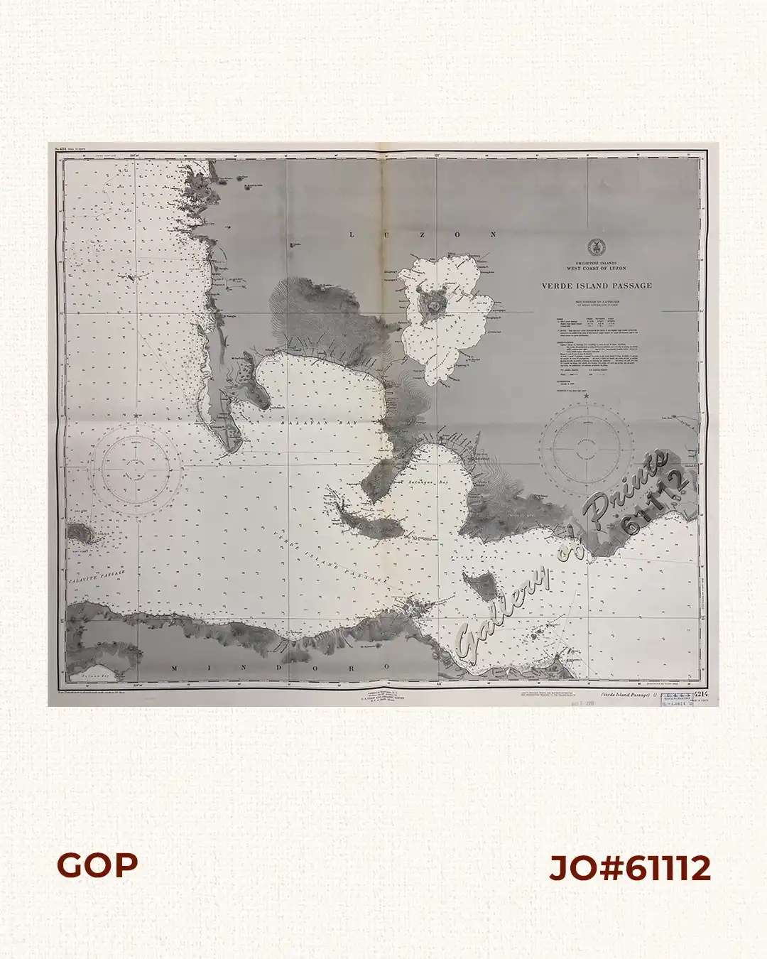
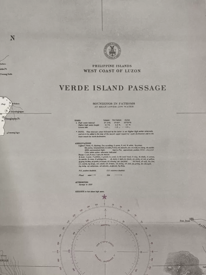
RARE lithograph map #4214, seachart published at Washington, D. C.
3rd edition Aug. 1933 – 1st edition 1912 by U.S Coast and Geodetic Survey, R. F. A. Studds, Director.
with stamp dated Oct 2 1950.
Corrected through Notice to Mariners No. 4, Jan 26 1952, U.S. Navy Hydrographic Office.
with “33-8/28; 37- 12/20; 40- 6/21; 41-11/3; 42- 2/12; 43- 8/31; 45- 7/14; 46-12/9; 48-11/15; 50- 7/31, 9/11”

![Isla de Luzon pl. 10, inset: Pto. de Banacalan [Marinduque] (Quezon [or Tayabas], Camarines Norte, Marinduque, Balegin [Balesin], Calbalete [Cagbalete]… )](https://www.gop.com.ph/wp-content/uploads/2023/08/JO64134-Algue-1900-Isla-de-Luzon-scaled-1-600x750.webp)