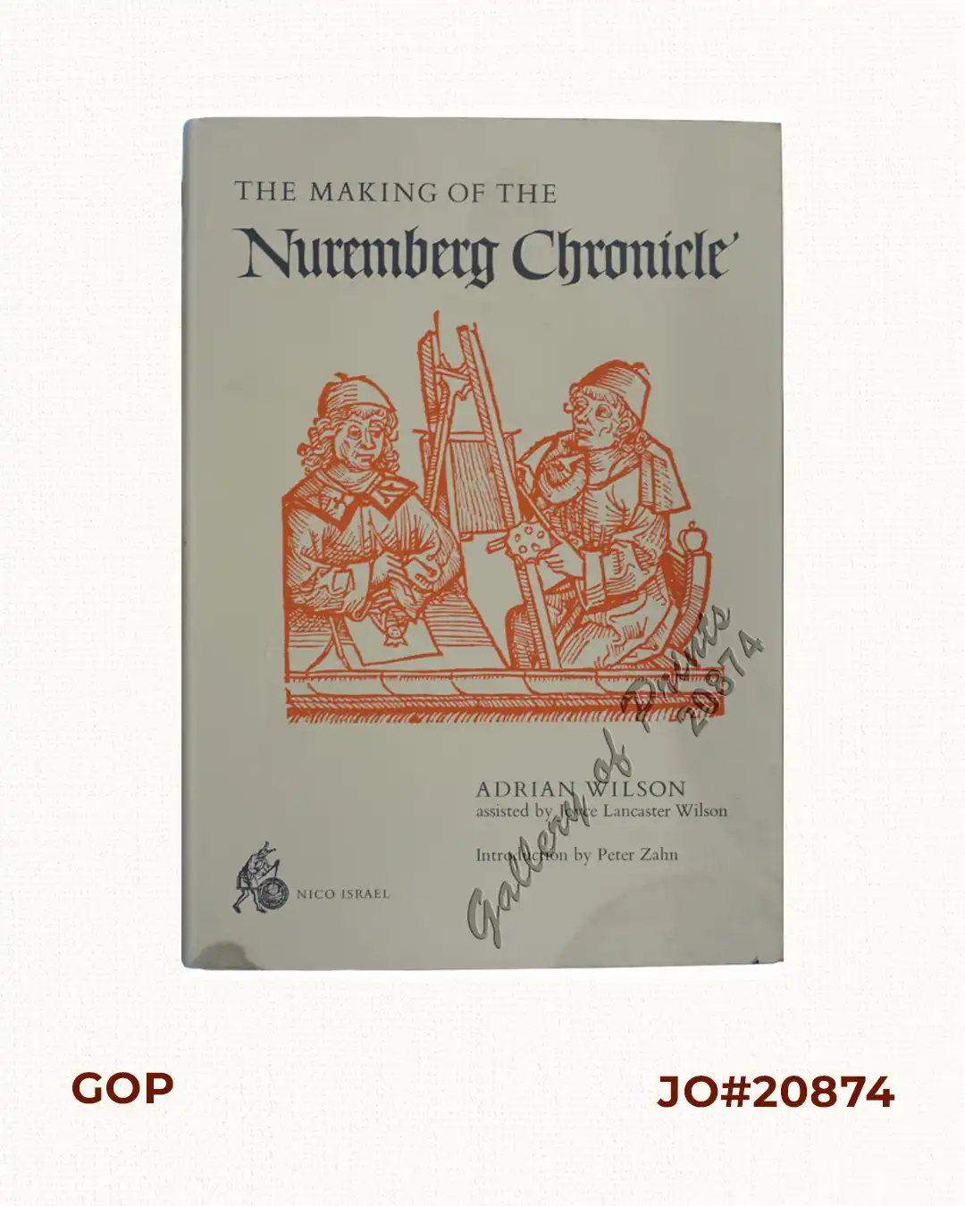
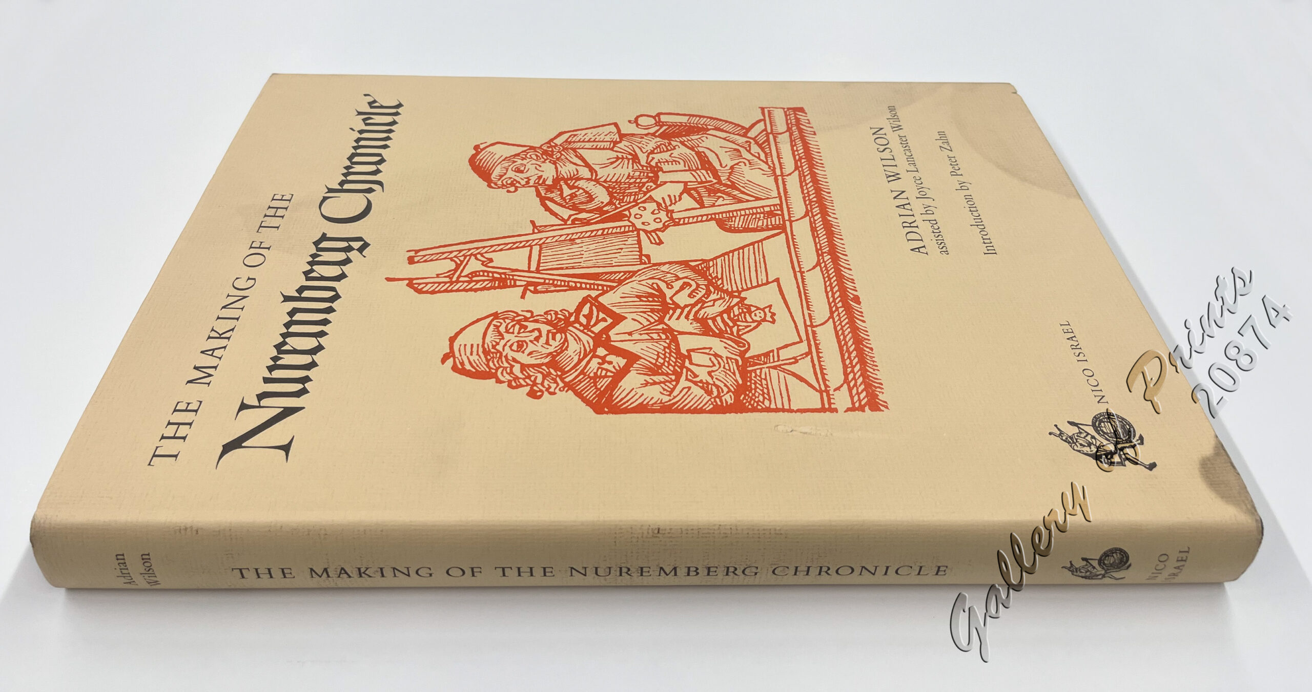
Description
cloth hardbound, 255pp., [1]; map endpapers, 3 bifolium inserts printed in color, illustrations throughout, original charcoal cloth stamped in white on upper cover and spine.
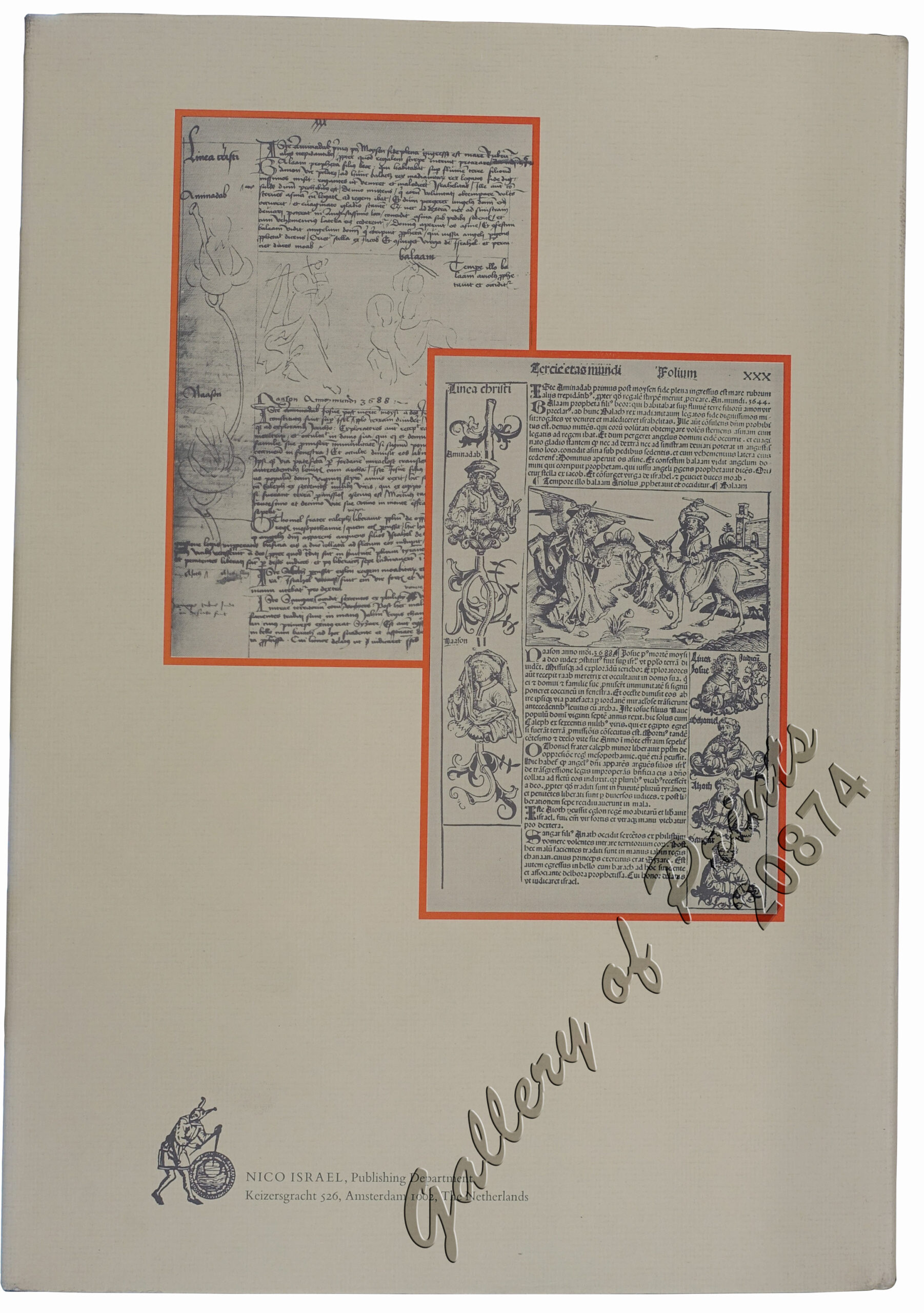
This is the first work in English on the entire production of an early illustrated printed book, from concept through distribution. The survival of page by page layouts for a book of the incunabula period, as well as the original contracts for its illustration, for its printing and for the allotment of profits and unsold books, is unique to the Nuremberg Chronicle of 1493. Furthermore, the astonishing discovery in 1972, in the binding of a Koberger Bible, of preliminary woodcut drawings and layouts for the Chronicle, reveals the first steps in how the book was planned. The Making of the Nuremberg Chronicle, which gathers into one volume all these factors, is a landmark in the study of incunabula. [from the dust-jacket]
Mr. Wilson reconstructs “the making of the Nuremberg Chronicle; the compilation of manuscript sources by its author; the artists’ first concepts for the illustrations; the patrons’ agreements for financing the publication; the layouts; the printing; the advertising; the distribution, and the final settlement” (p.11).
The Nuremberg Chronicle (also known as the “Liber Chronicarum”) “is, after the Gutenberg Bible, probably the most celebrated of early printed books, a compendium of geography, history, and the wonders of the world as viewed from medieval Nuremberg, with some 1800 illustrations provided by the multiple use, for different subjects, of 645 beautiful woodblocks…” (from “The Nuremberg Chronicle Designs” by Adrian Wilson, 1969).