
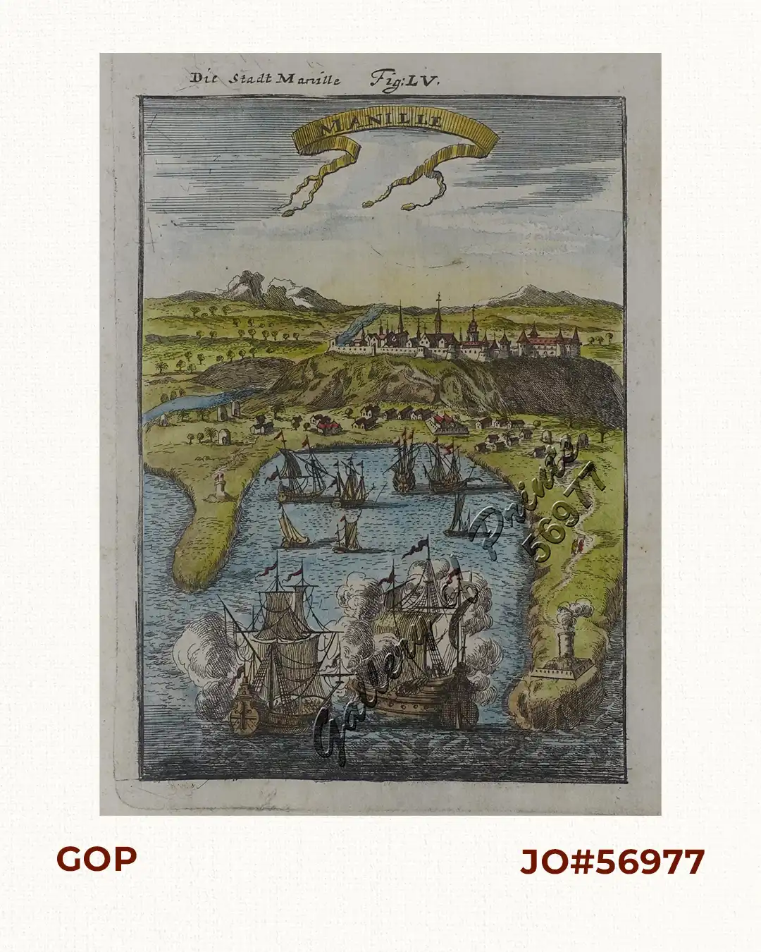
Description
hand-coloured copper engraving map from ‘…Beschreibung des gantzen Welt-Kreyses…, das alte & neue Asia… [Description of the Entire Globe…Old and New Asia]’ ; vol. 2 of 5, FIRST GERMAN edition, original French ed: 1683. Mallet was a Cartographer and Engineer (1630-1706), his work describes in 5 parts all nations on all 5 continents. He was a soldier, 1st in the Portuguese and then in the French army of Louis XIV.

![Typus freti Manilensis detroit de Manilles [Straits of Manila]](https://www.gop.com.ph/wp-content/uploads/2015/05/JO54051-Renneville-1725-Philippines-Manila-Samar-Mindoro-Luzon-scaled-1-600x750.webp)
![Islas de Infanta y Polillo pl. 12 [Quezon Prov., Polilio Is., Pananongan I., Jomalig I.]](https://www.gop.com.ph/wp-content/uploads/2023/08/JO62585-Algue-1900-Quezon-Province-Polilo-Jomalig-Patnanongan-scaled-1-600x750.webp)