Description
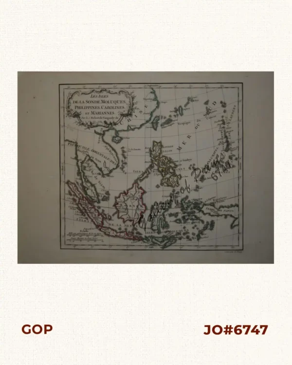
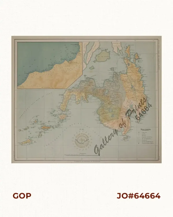
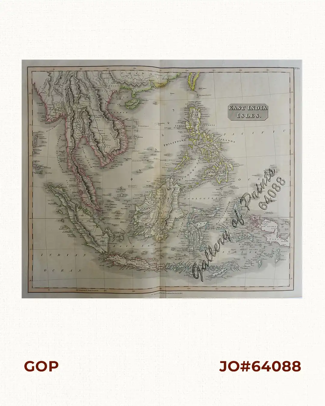
original hand-colour steel engraving map from ‘New General Atlas’, pl. 40. A large map of the Dutch East Indies, Indochina and the Philippines. “Pinang” (Penang), “Bankok” (Bangkok), “Manilla” (Manila), and the Strait of “Sincapore” (Singapore) are marked. The Paracel islands are indicated to be much closer to the coast of Cochinchina (part of modern-day Vietnam) than is actually the case.